
What is recorded here
On summit of hill in generally undulating terrain. Hill has been planted with mixed forest of deciduous and coniferous trees c. 5 years old, the monument has been avoided, though the trees are just outside the N edge of the outermost fosse. Interior slopes gently to ENE. According to Cahill (1982) the monument was levelled, however, it is still visible though difficult to discern in long hummocky grass. Enclosure consists of a central, roughly circular area (diam. 25m N-S) defined by a broad, low bank almost reduced to scarp (Wth 4.6m; int. H 0.1m; ext. H 0.5m), a slight ext. fosse (Wth 7.2m; D 0.08m), wide berm (Wth 21-24.8m), outer bank (Wth 9-9.4m; int. H 0.25m; ext. H 0.56m) and outer fosse (Wth 4.2m; D 0.17m). Gap (Wth c. 5m) in outer bank in the SE quadrant. Outer bank and fosse are not visible at ground level from W-N-NE.
Compiled by: Jean Farrelly
Date of upload: 26 August 2011
A local fairy fort (ringfort/rath); wider significance not recorded.
The monument record does not grant public access. Check the route and ask the landowner before entering private land.
- What survives
- Recorded monument
Places near here
 MonumentArchaeological place · 696 yd
 Arbourhill Ho.House, 17th century · 738 yd
 CastleCastle, ringwork · 818 yd
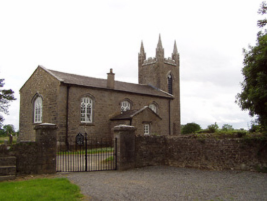 Church of the Holy Spirit (Magorban)church/chapel · 999 yd
 St. Brogans WellHoly well · 1176 yd
 Bawn in Ballyvadin (magorban Par.)Bawn · 1.4 mi
 Taylor's WoodWood · 2.6 mi
 Noan WoodWood · 2.6 mi
 Ballinure HillMountain / peak · 3.0 mi
 Kilknockan HillMountain / peak · 3.7 mi
 East GateMemorial · 4.5 mi
 Hore AbbeyHeritage attraction · 6.4 mi
Other information
Photo: Credit not shown in the picture search · Rights wording not checked; contact us if this picture should be removed