
What is recorded here
Dug into an E-facing slope on a natural terrace. Indicated as 'St. Brogan's Well' on the 1840 and 1903-04 ed. OS 6-inch maps. Accessible along a mass path which consists of a high earthen walk-way with deep ditch on either side. This spring well (Wth 0.4m at rear, 1m at mouth; D 0.64m; H 0.75m) is defined by dry-stone walling which splays out towards the mouth of the well and is covered with corbelled limestone lintels. The outer lintels collapsed out when an adjacent ash tree fell.
Compiled by: Jean Farrelly
Date of revised upload: 14 October 2014
St. Brogans Well is associated with St. Brogan, an early Irish Christian saint known for founding monastic sites in the 6th century. The well was historically visited for its supposed healing properties, particularly for eye ailments, and may have been a site of seasonal pilgrimage or ritual washing.
The monument record does not grant public access. Check the route and ask the landowner before entering private land.
- What survives
- Recorded monument
Places near here
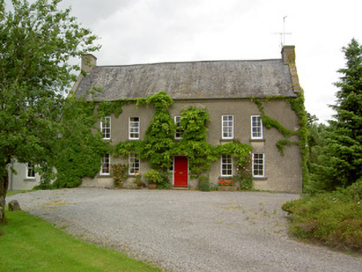 Clonbrogan Househouse · 315 yd
 Arbourhill Ho.House, 17th century · 828 yd
 Concentric enclosure in WoodhouseConcentric enclosure · 1176 yd
 MonumentArchaeological place · 1484 yd
 CastleCastle, ringwork · 1.1 mi
 Site of CastleCastle, unclassified · 1.7 mi
 Noan WoodWood · 2.5 mi
 Taylor's WoodWood · 2.7 mi
 Ballinure HillMountain / peak · 3.2 mi
 Kilknockan HillMountain / peak · 3.5 mi
 East GateMemorial · 4.4 mi
 Gobban Saer's GraveArchaeological place · 5.0 mi
Other information
Photo: Credit not shown in the picture search · Rights wording not checked; contact us if this picture should be removed