What is recorded here
Marked only on the 1928 ed. of the OS 6-inch map as an arc (C c. 30m) of hachures N-E, and situated on a gentle SW-facing slope at the E end of a low WNW-ESE ridge. This is a D-shaped grass and scrub-covered area (dims 30m NNE-SSW; 30m WNW-ESE) defined by an overgrown flat-topped earthen bank (Wth of base 1.5m; H 0.6m) NW-E-SW, but there is no evidence of the perimeter SW-NW or of a fosse or an identifiable original entrance. A boulder (RO041-071002-) (dims 0.6m x 0.6m; H 0.35m) inside the perimeter at SE has a rough-out for a quernstone (diam. 0.35m) with a central hole (diam. 0.07m; D 0.05m) and a cross inscribed on its upper surface. Rath (RO041-070----) is c. 95m to the N.
Compiled by: Michael Moore
Date of upload: 24 August 2010
The monument record does not grant public access. Check the route and ask the landowner before entering private land.
- What survives
- Recorded monument
Places near here
 IndicatedFairy fort / earthen ringfort · 156 yd
 Historic buildingOfficially recorded historic building · 1445 yd
 MillMill, unclassified · 1504 yd
 CastleHouse, fortified house · 1608 yd
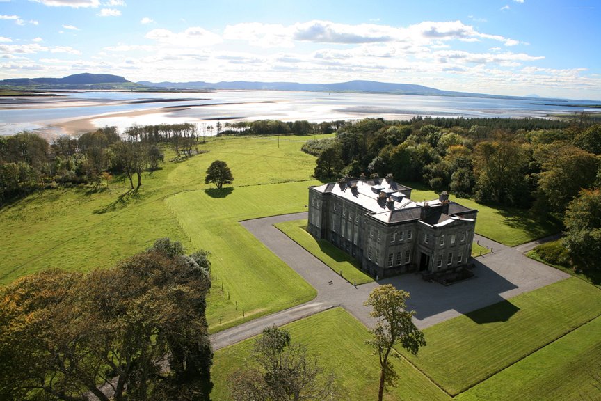 Embanked enclosureFairy fort / earthen ringfort · 1.2 mi
 European Crab AppleEuropean Crab Apple · 1.4 mi
 Sally IslandIslet · 2.5 mi
 Castle KellyCastle, tower house · 2.7 mi
 Aughrane WoodsForest · 2.9 mi
 Mount MaryMountain / peak · 5.1 mi
 Inchnaveague IslandIslet · 5.5 mi
 Site of Killomaine Grave YardArchaeological place · 9.9 mi