
What is recorded here
On the E bank of a NESW section of the River Suck, at a point where the river turns W. An O'Kelly castle (RO041-048001-) was at Athleague before the area was acquired by the earls of Clanrickard sometime before 1640. Two mills are recorded in at Athleague (Simington 1949, 103), and the Strafford map of c. 1636 shows the fortified house (RO041-048005-) on an island surrounded by the River Suck at W and a mill-race on the other sides.
The mill-race is still evident as a grass-covered depression (Wth 8-10m; D 0.1-0.3m), which floods in winter, surrounding the walled garden (RO041-048014-) but there is no evidence of a mill house on it.
Compiled by: Michael Moore
Date of upload: 24 August 2010
The monument record does not grant public access. Check the route and ask the landowner before entering private land.
- What survives
- Recorded monument
Places near here
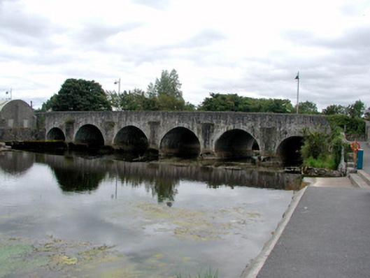 Athleague BridgeOfficially recorded historic building · 60 yd
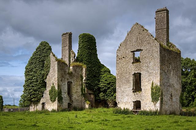 mill (water)mill (water) · 61 yd
 CastleHouse, fortified house · 117 yd
 IndicatedFairy fort / earthen ringfort · 1138 yd
 Enclosure in ToberavaddyEnclosure · 1.1 mi
 European Crab AppleEuropean Crab Apple · 1.1 mi
 Sally IslandIslet · 2.6 mi
 Castle KellyCastle, tower house · 3.3 mi
 European YewEuropean Yew · 3.5 mi
 Mount MaryMountain / peak · 5.3 mi
 Roscommon CastleCastle · 5.4 mi
 Inch IslandIsland · 7.7 mi
Other information
Photo: Credit not shown in the picture search · Rights wording not checked; contact us if this picture should be removed