
What is recorded here
At the E end of a low WNW-ESE ridge. Described in 1964 as a D-shaped area (dims c. 40m E-W; c. 35m N-S) defined by an earthen bank (Wth c. 2m; int. H c. 1m; ext. H c. 1.5m) which had been straightened by a road bank and replaced by a stone wall at NE and with slight traces of a fosse at NW (SMR file). It has been removed since 1964 and is no longer visible in reclaimed pasture. Rath (RO041-071001-) is c. 95m to the S.
Compiled by: Michael Moore
Date of upload: 24 August 2010
This remains an important historical record, but the official description says the monument is no longer visible or has been destroyed. The monument record does not grant public access. Check the route and ask the landowner before entering private land.
- What survives
- No visible remains or recorded as destroyed
Places near here
 IndicatedFairy fort / earthen ringfort · 452 yd
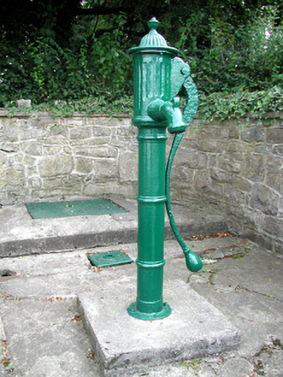 Historic buildingOfficially recorded historic building · 1302 yd
 MillMill, unclassified · 1353 yd
 CastleHouse, fortified house · 1459 yd
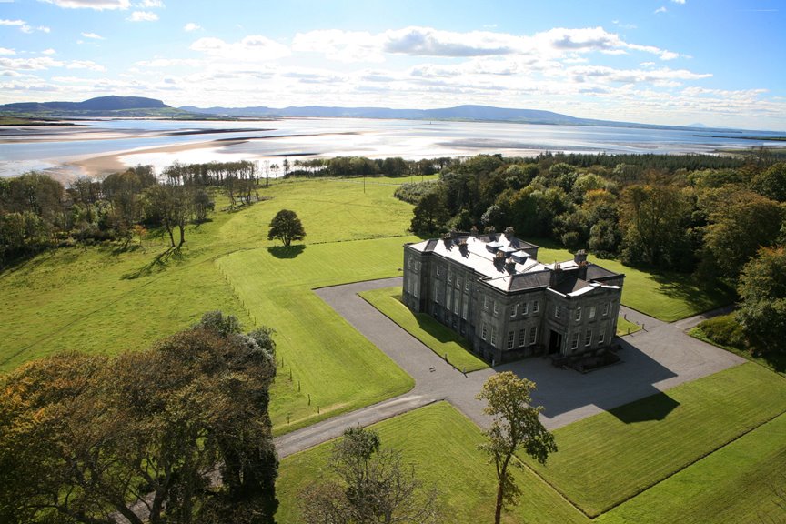 Embanked enclosureFairy fort / earthen ringfort · 1.2 mi
 European Crab AppleEuropean Crab Apple · 1.4 mi
 Sally IslandIslet · 2.5 mi
 Castle KellyCastle, tower house · 2.7 mi
 Aughrane WoodsForest · 3.0 mi
 Mount MaryMountain / peak · 5.1 mi
 Inchnaveague IslandIslet · 5.5 mi
 Site of Killomaine Grave YardArchaeological place · 9.9 mi
Other information
Photo: Credit not shown in the picture search · Rights wording not checked; contact us if this picture should be removed