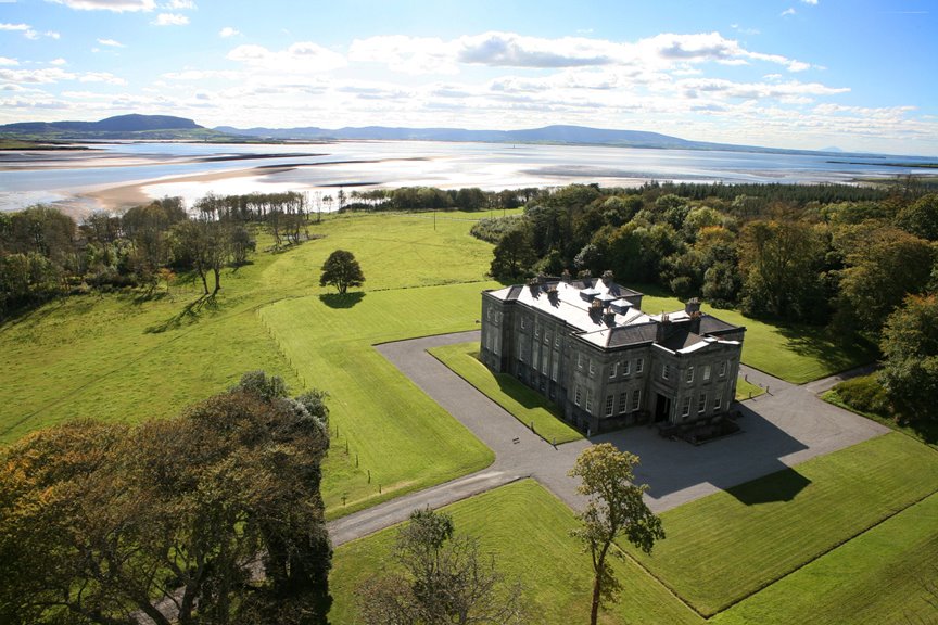
What is recorded here
On a gentle SE-facing slope. Circular grass-covered area (diam. 40.7m N-S; 37.3m E-W) defined by an earth and stone bank (Wth 4-5.5m; int. H 0.2-0.5m; ext. H 1-1.4m) and hedge, which is reduced to a scarp (H 1.2m) E-S. A band of nettles (Wth c. 2m) outside the bank may indicate a fosse and there is an entrance (Wth 4m) at SW.
Compiled by: Michael Moore
Date of upload: 24 August 2010
A local fairy fort (ringfort/rath); wider significance not recorded.
The monument record does not grant public access. Check the route and ask the landowner before entering private land.
- What survives
- Recorded monument
Places near here
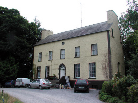 Bushypark Housecountry house · 973 yd
 Cross in Kilmore (athlone North By., Athleague East Ed)Cross · 1140 yd
 Bivallate embanked enclosureFairy fort / earthen ringfort · 1519 yd
 European Crab AppleEuropean Crab Apple · 1.2 mi
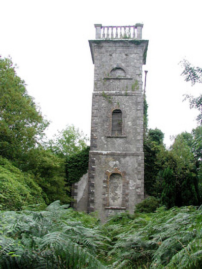 Mount Talbot Church (Tisrara)church/chapel · 1.4 mi
 CastleHouse, fortified house · 1.7 mi
 Castle KellyCastle, tower house · 3.4 mi
 Aughrane WoodsForest · 3.6 mi
 Sally IslandIslet · 3.6 mi
 Inchnaveague IslandIslet · 4.3 mi
 Mount MaryMountain / peak · 6.1 mi
 Site of Killomaine Grave YardArchaeological place · 11 mi
Other information
Photo: Credit not shown in the picture search · Rights wording not checked; contact us if this picture should be removed