What is recorded here
Fairy fort in Aghlattacru, County Monaghan: a broad subcircular grass and scrub area on an E-facing ridge slope, marked by an earthen bank with traces of internal stone-facing and a possible N entrance. It may have been a rath, a boundary, a shelter or a marker of ownership. The fairies may have borrowed the shape later, as they do everywhere people stop naming the truth.
Situated on the E-facing slope of a slight NNW-SSE ridge. This is a broad subcircular, grass and scrub-covered area with rock outcrop (int. dims 44m NW-SE; 38m NE-SW) that slopes down to the NE, which is defined by an earthen bank (Wth of base 4.2-6m; Wth of top 2.2-2.5m; int. H 0.2-0.8m; ext. H 0.5m at NW to 1.5m at SE) with traces of internal stone-facing. There is no visible fosse, but an entrance (Wth of base 2.2) at N might be original.
The above description is derived from the published 'Archaeological Inventory of County Monaghan' (Dublin: Stationery Office, 1986). In certain instances the entries have been revised and updated in the light of recent research.
Date of revision: 31 July 2017
The monument record does not grant public access. Check the route and ask the landowner before entering private land.
- What survives
- Recorded monument
Places near here
 IndicatedFairy fort / earthen ringfort · 633 yd
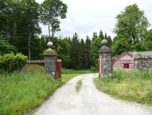 Lough Fea Housedemesne walls/gates/railings · 706 yd
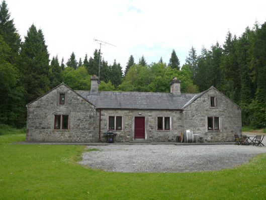 Carrickmacross Orange Lodgehall · 1337 yd
 Monkey-puzzleMonkey-puzzle · 1.2 mi
 Crannog in DrumboCrannog · 1.5 mi
 European BeechEuropean Beech · 1.5 mi
 BarleyhillMountain / peak · 2.9 mi
 Flat cemetery in AnnaheanFlat cemetery · 3.3 mi
 Natural Play AreaMemorial · 3.3 mi
 Lagan castleCastle, tower house · 3.4 mi
 Castle ruinsCastle, unclassified · 3.5 mi
 Drumerlough MoreMountain / peak · 3.5 mi