What is recorded here
Discovered prior to road construction (Excavation Licence 99E0485). Two large pits were uncovered in close proximity to a ringfort (LH012-065001-) and Man-made underground passage (LH012-065002-). One was sub-circular in shape (max. diam. 1.10m; D 1.10m) and interpreted as a refuse pit. Finds recovered included a broken blue glass armlet, animal bone and industrial slag. The second pit was keyhole shaped (max. diam. 3.50m; D .90m) and contained a small quantity of animal bone. The excavator suggests that this pit may be interpreted as an unused corn-drying kiln. (Ó Drisceoil 1999; Ó Drisceoil 2002, 244)
Compiled by: Claire Breen
Date of upload: 19 April 2012
The monument record does not grant public access. Check the route and ask the landowner before entering private land.
- What survives
- Recorded monument
Places near here
 Enclosure in WhiterathEnclosure · 314 yd
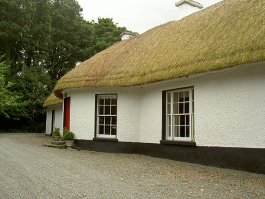 Whiterath Cottagehouse · 338 yd
 Field system in Commons (dromiskin Par.)Field system · 724 yd
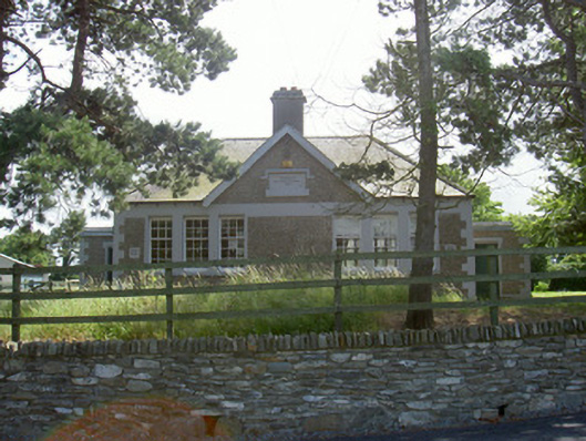 Dromiskin National Schoolschool · 773 yd
 Viking BoatHeritage attraction · 1197 yd
 CastleCastle, unclassified · 1377 yd
 Drummeenagh HillMountain / peak · 1.6 mi
 Long WoodForest · 1.9 mi
 Broad WoodForest · 2.0 mi
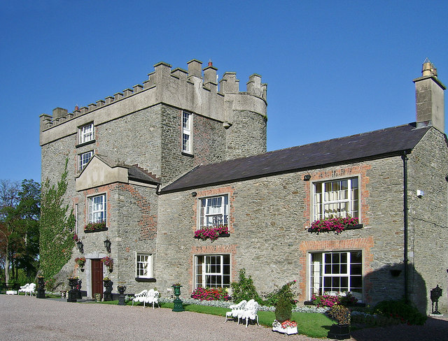 Bawn in DarverBawn · 2.1 mi
 BallybarrackMountain / peak · 4.0 mi
 Graveyard in Richardstown (ardee By., Richardstown Par.)Graveyard · 5.2 mi