
What is recorded here
Located towards the bottom of a SW-facing slope. An oval grass-covered area (dims c. 70m NW-SE; c. 60m NE-SW) defined by a wide fosse (Wth c. 5-10m) is visible on Google Earth (17/01/2020). The field is overlain by N-S cultivation ridges and served as a pitch and put course (Google Earth 18/04/2009). It is also visible on OSI images (1995, 2000) and was first reported by Jean Charles Caillere.
See the attached aerial view from Google Earth
Compiled by: Michael Moore
Date of upload: 4 June 2020
A local fairy fort (ringfort/rath); wider significance not recorded.
The monument record does not grant public access. Check the route and ask the landowner before entering private land.
- What survives
- Recorded monument
Places near here
 TeevurcherMountain / peak · 656 yd
 Fulacht fia in AgheraghFulacht fia · 919 yd
 IndicatedConcentric enclosure · 1200 yd
 Blackhills LowerMountain / peak · 1257 yd
 Church (in ruins)Church · 1.1 mi
 MoatCastle, motte and bailey · 1.1 mi
 Tullynaskeagh EastForest · 1.2 mi
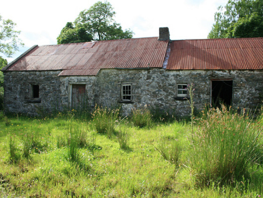 farm housefarm house · 1.3 mi
 Tullynaskeagh WestForest · 1.6 mi
 CastleCastle, tower house · 2.9 mi
 Fair of MuffMemorial · 3.3 mi
 In Memory of Patrick KiernanMemorial · 4.1 mi
Other information
Photo: Credit not shown in the picture search · Rights wording not checked; contact us if this picture should be removed