What is recorded here
From the National Monuments Service (Archaeological Survey of Ireland) record ME001-010
The monument record does not grant public access. Check the route and ask the landowner before entering private land.
- What survives
- Recorded monument
Places near here
Photo credits
- National Inventory of Architectural Heritage
- Kevgorman, Wikimedia Commons · CC BY-SA 4.0
- Oliver Dixon, Geograph · CC BY-SA 2.0
- Wanfried-Dublin, Wikimedia Commons · CC BY-SA 4.0
- Stephan van Helden, Wikimedia Commons · CC BY-SA 4.0
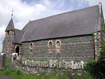 Saint Columba's Church (Moybolgue)Church/chapel · 1.0 mi
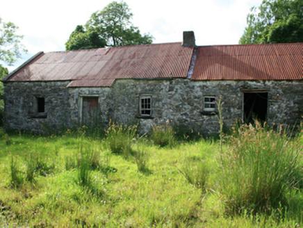 farm house1.1 mi
Explorer Tom The farm house in Coppanagh has exposed rubble stone walls and a timber settle bed, standing disused with traces of its 1810 past.
Blackhills LowerMountain / peak · 1.3 miExplorer Tom Blackhills Lower is part of the Blackhills range in County Cavan, offering a lower starting point for hikers.
 Grave YardGraveyard · 1.8 mi
Explorer Tom This circular graveyard in Relagh Beg features a drystone wall and headstones dating back to the early eighteenth century.
MoatCastle, motte and bailey · 1.8 miExplorer Tom Relagh Beg’s motte still stands proud with steep sides, guarding the bailey below like a tired but loyal old sentinel.
 LoughanleaghForest · 1.9 mi
Explorer Tom Loughanleagh has waymarked paths, so you won’t get lost, but I bet there are plenty of shortcuts for those who know where to look.
 Fair of MuffVisitor information · 2.7 mi
Explorer Tom Check out the Fair of Muff sign, which notes a sculpture commemorating the Horse Fair held here for four centuries in County Cavan.
 Fair of MuffMemorial · 2.7 mi
Explorer Tom The Fair of Muff sculpture commemorates a horse fair that has been held on this spot for four centuries.
 Portal tomb in ErveyPortal tomb · 3.3 mi
 Brothers GravesVisitor information · 4.5 mi
Explorer Tom Brothers Graves holds a touching memory, marking seven Marist brothers who lived long lives in this community.
 Horse-chestnut5.2 mi
Explorer Tom A majestic Horse-chestnut in County Cavan, likely dropping glossy green cones and releasing sweet-smelling flowers that fill the air with fragrance.
More archaeology and monuments in County Meath · All of County Meath
What do you know about this place?