What is recorded here
Motte comprises a roughly circular (diam. of base c. 30m; H c. 5m), very steep-sided mound, the W portion of which has been quarried away. The summit of the mound was originally flat-topped (diam. c. 12m). A fosse which runs between the motte and bailey at E is almost completely infilled. Bailey is approximately rectangular in plan (int. dims c. 35m N-S; c. 20m E-W) and is enclosed by a substantial earthen bank with external fosse which has been infilled at N. A low counterscarp bank skirts the outer lip of the fosse. Moybolgue Church is situated 100m to SE (CV034-046----). The motte and bailey is considered to be a national monument as defined in S.2 of the National Monuments Act 1930 on the basis of its archaeological, historical and architectural importance. Date of revised upload: 21 April, 2017
Motte comprises a roughly circular (diam. of base c. 30m; H c. 5m), very steep-sided mound, the W portion of which has been quarried away. The summit of the mound was originally flat-topped (diam. c. 12m). A fosse which runs between the motte and bailey at E is almost completely infilled. Bailey is approximately rectangular in plan (int. dims c. 35m N-S; c. 20m E-W) and is enclosed by a substantial earthen bank…
From the National Monuments Service (Archaeological Survey of Ireland) record CV034-045
The monument record does not grant public access. Check the route and ask the landowner before entering private land.
- What survives
- Recorded monument
Places near here
 Church (in ruins)Church · 154 yd
 Grave YardGraveyard · 158 yd
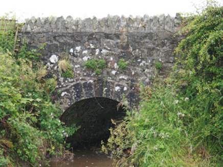 County BridgeBridge · 888 ydBlackhills LowerMountain / peak · 1.1 miCastleCastle, tower house · 2.5 mi
 LoughanleaghForest · 3.2 mi
 Brothers GravesVisitor information · 4.1 mi
 Grave YardGraveyard · 4.1 mi
 EnaghMountain / peak · 4.1 mi
 Fair of MuffVisitor information · 4.4 mi
 Fair of MuffMemorial · 4.4 mi
 Sessile Oak5.6 mi
Pictures: Kevgorman, Wikimedia Commons · CC BY-SA 4.0; National Inventory of Architectural Heritage; Oliver Dixon, Geograph · CC BY-SA 2.0; Kieran Campbell, Geograph · Creative Commons Attribution-ShareAlike 2.0; Kieran Campbell, Geograph · CC BY-SA 2.0; Maker named on the Wikimedia Commons picture page · CC BY-SA 2.5
More castles and forts in County Cavan · All of County Cavan
What do you know about this place?