
What is recorded here
Located in a fold towards the top of a S-facing slope. This is an early monastic church, and it became the site of the medieval parish church of Moybologue in Kilmore diocese. However, noting is known of its history except that there was a hospital or hospice associated with it (Gwynn and Hadcock 1970, 354). The featureless N wall (L 11m; T 0.8m; H 3.2m) of the nave survives together with the S transept (ext. dims 7.2m N-S; 6.25m E-W; int. dims 6.75m N-S; 4.5m E-W) which is featureless apart from a cupboard at the S end of the E wall and a window embrasure (Wth 1.2m; H 1.6m) in the S wall. Features on the first floor could be inserted and the floor was supported by a corbel in the W wall, now removed, and a rebate on the S wall. It had a fireplace towards the N end of the E wall, and the rough corbels that supported the mantel are projecting out from the wall. There is a window in the S wall at the first floor with a re-used square hood moulding that is too large for the opening. The upper parts of the walls could be rebuilt and, with a fireplace, it did serve as a dwelling. The nave wall is extended E (L 7.4m) by a drystone wall, and N of the church there is an L-shaped structure (ext. dims 9.05m N-S; 8.9m E-W) defined by drystone walls (Wth c. 0.7m; H 0.5-1m) creating some mortuary enclosures. The church is within a circular graveyard (diam. c. 70m E-W; c. 68m N-S) defined by a drystone wall (at N: Wth 1m; H 1.4m), with a masonry wall (Wth 0.6m; int. H 0.9m; ext. H 1.8m) at the roadside SE-SW. An illegible inscription on the W pier of the entrance gate has the date 181(?)3, which might indicate when the graveyard wall was constructed. Within the graveyard there are two cross-slabs, one with an early inscription, a font, three churchyard crosses and two fragments of crosses. The two graveslabs are both probably seventeenth century in date. There is also a fragment of an inscription which remains indecipherable, a holed stone that is part of a millwheel, and a stone with a single cup-mark. The curving wall of the graveyard at S with the road curving about the graveyard E-S-W, a field bank W-N enclosing the motte and bailey (CV034-045----) and a field bank NE-E could be interpreted as a large oval ecclesiastical enclosure (CV034-046008-).
Located in a fold towards the top of a S-facing slope. This is an early monastic church, and it became the site of the medieval parish church of Moybologue in Kilmore diocese. However, noting is known of its history except that there was a hospital or hospice associated with it (Gwynn and Hadcock 1970, 354). The featureless N wall (L 11m; T 0.8m; H 3.2m) of the nave survives together with the S transept (ext.…
From the National Monuments Service (Archaeological Survey of Ireland) record CV034-046001
The monument record does not grant public access. Check the route and ask the landowner before entering private land.
- What survives
- Recorded monument
Places near here
 Grave YardGraveyard · 13 ydMoatCastle, motte and bailey · 154 yd
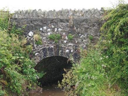 County BridgeBridge · 769 yd
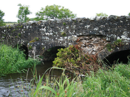 Christy's BridgeBridge · 1645 ydBlackhills LowerMountain / peak · 1.1 mi
 LoughanleaghForest · 3.2 mi
 Grave YardGraveyard · 4.0 mi
 EnaghMountain / peak · 4.1 mi
 Brothers GravesVisitor information · 4.2 mi
 Fair of MuffVisitor information · 4.4 mi
 Fair of MuffMemorial · 4.4 mi
 Sessile Oak5.6 mi
Pictures: Kevgorman, Wikimedia Commons · CC BY-SA 4.0; National Inventory of Architectural Heritage; Oliver Dixon, Geograph · CC BY-SA 2.0; Kieran Campbell, Geograph · Creative Commons Attribution-ShareAlike 2.0; Kieran Campbell, Geograph · CC BY-SA 2.0; Maker named on the Wikimedia Commons picture page · CC BY-SA 2.5
More historic places in County Cavan · All of County Cavan
What do you know about this place?