
What is recorded here
Situated on a gentle S-facing slope. Archaeological monitoring (17E0038) by J. Olney of the development works associated with a windfarm extending over a wide area (max. dims c. 1.3km NE-SW; c. 1km NW-SE) identified three archaeological areas which were all resolved under the original licence. This monument consists of a spread of broken and burnt stones (dims 7m E-W; 5m plus N-S; max. T 0.2m) that extends beyond the excavated area to the SW. A rectangular wood-lined trough (dims 1.1m E-W; 0.9m N-S; max. D 0.25m) with four fills was in a larger cut (dims 1.92m N-S; 1.9m E-W; D 0.52m) just outside the NE extent of the burnt stone spread. A sample of hazel charcoal from the basal fill of this trough produced a C14 date of 2200-2020 cal. BC.
About 12m to the N was a second rectangular trough (dims 1.7m NE-SW; 0.7m NW-SE; D 0.43m) which cut an earlier pit (diam. 0.4m; D 0.08m). The trough had three fills of silts and clays with varying amounts of charcoal, and these deposits were cut by the base of a pit (diam. 0.3m; D 0.1m). The base of the trough retained the impressions of four timbers from its wooden lining, and a sample of applewood from the basal layer produced a C14 date of 1670-1500 cal. BC. About 13m to the N of this again was the truncated base of a rectangular trough (dims 1.85m N-S; 1.4m E-W; D 0.22m) which retained impressions of its timber floor and had two fills. This trough was cut by a circular trough (diam. 1.7-1.85m; D 0.22m) which also retained the impression of its wooden lining and had two fills. No artefacts were recovered but the analysis of seven charcoal samples identified hazel, oak, and alder as predominant species with some willow, birch and apple. (Olney and Bartlett 2020, 18-28) Y for RMP survives (671195, 793419)
Compiled by: Michael Moore
Date of upload; 26 February 2021
The monument record does not grant public access. Check the route and ask the landowner before entering private land.
- What survives
- Recorded monument
Places near here
 TeevurcherMountain / peak · 271 yd
 IndicatedConcentric enclosure · 527 yd
 EnclosureEnclosure, large enclosure · 919 yd
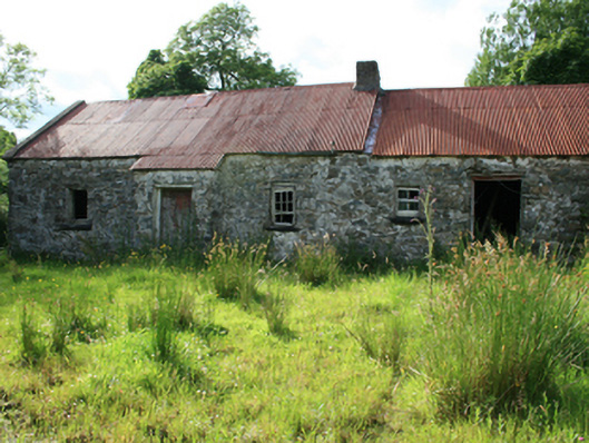 farm housefarm house · 1598 yd
 Blackhills LowerMountain / peak · 1747 yd
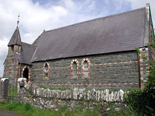 Saint Columba's Church (Moybolgue)church/chapel · 1.3 mi
 Tullynaskeagh EastForest · 1.5 mi
 MoatCastle, motte and bailey · 1.7 mi
 LoughanleaghForest · 1.8 mi
 Castle in ruinsCastle, unclassified · 2.7 mi
 Fair of MuffMemorial · 2.8 mi
 In Memory of Patrick KiernanMemorial · 4.1 mi
Other information
Photo: Credit not shown in the picture search · Rights wording not checked; contact us if this picture should be removed