
What is recorded here
In a marshy area with a stream flowing NW-SE c. 80m to E, in rough pasture. The land is indicated on the 1900 OS 6-inch map revision as being liable to flood. Identified as a possible enclosure on an aerial photograph (ASIAP (233) 21, 22 April 2001). A roughly D-shaped enclosure (dims. c. 64m N-S; c. 36m E-W) curving to the E, with a field boundary, running roughly N-S, forming the W side.
Compiled by: Jean Farrelly
Date of upload: 2 July 2019
A local fairy fort (ringfort/rath); wider significance not recorded.
The monument record does not grant public access. Check the route and ask the landowner before entering private land.
- What survives
- Recorded monument
Places near here
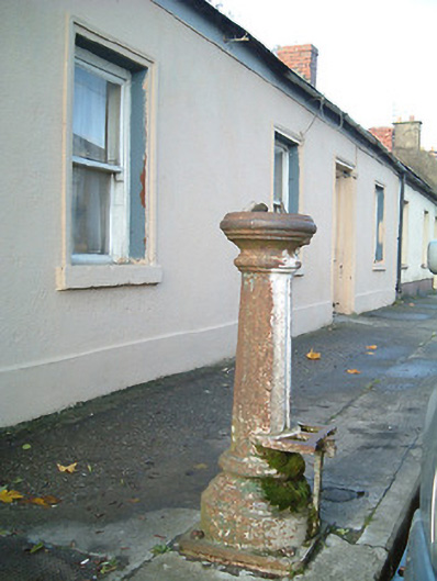 water pumpwater pump · 471 yd
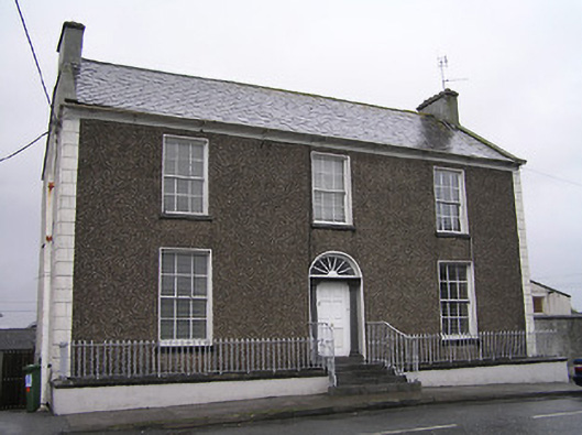 Townview Househouse · 479 yd
 St. Patricks WellHoly well · 784 yd
 TurretBawn · 1039 yd
 CastleCastle, tower house · 1049 yd
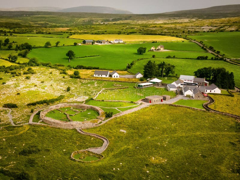 Borrismore Ringfort (Rath)Archaeological place · 1.2 mi
 John HelyMemorial · 2.5 mi
 DelaneyMemorial · 2.6 mi
 KilcooleyForest · 3.1 mi
 Kilcooly AbbeyHeritage attraction · 3.2 mi
 Serpentine WoodForest · 3.2 mi
 Clomantagh HillMountain / peak · 3.5 mi
Other information
Photo: Credit not shown in the picture search · Rights wording not checked; contact us if this picture should be removed