What is recorded here
Lady’s Well hid at the Urlingford boundary beside the Togher road, waiting for devotion while surveyors forgot it. Women may have knelt there before dawn, tying cloth to reeds or drinking water that tasted of rain and stone. The well vanished from every map, but absence does not kill love. It only redirects love into story, memory and the quiet certainty that some places must be hidden to remain holy.
Carrigan (1905, vol. 2, 364) mentions a holy well, called ‘Lady’s Well’, ‘in the extremity of the townland of Urlingford, beside the Togher road as it crosses into Co. Tipperary’. This holy well is not indicated on the OS 6-inch 1839 or 1900 map. The Togher road runs southward from the SW end of the main street of Urlingford and crosses into Tippeary c. 770m from Main Street. The precise location of the holy well is unknown.
Compiled by: Jean Farrelly
Date of upload: 17 July 2019
The Holy Well in Urlingford, also known as Lady’s Well, is associated with Marian devotion and was historically visited for healing rituals. Local tradition suggests it was a site of pilgrimage, particularly for women seeking fertility or protection.
The monument record does not grant public access. Check the route and ask the landowner before entering private land.
- What survives
- Recorded monument
Places near here
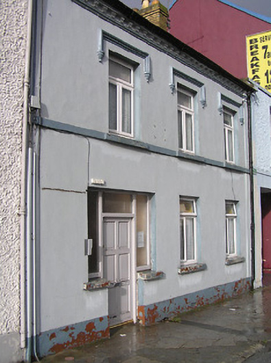 Bridgeviewhouse · 70 yd
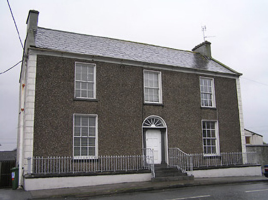 Townview Househouse · 131 yd
 Enclosure in UrlingfordEnclosure · 436 yd
 TurretBawn · 603 yd
 CastleCastle, tower house · 615 yd
 St. Patricks WellHoly well · 1068 yd
 John HelyMemorial · 2.3 mi
 DelaneyMemorial · 2.4 mi
 KilcooleyForest · 3.3 mi
 Kilcooly AbbeyHeritage attraction · 3.4 mi
 Clomantagh HillMountain / peak · 3.5 mi
 Serpentine WoodForest · 3.5 mi