What is recorded here
Urlingford is a drowned medieval town in County Kilkenny, hidden beneath bog and river water beside the modern settlement. Its church, tower house and fording point still break the surface, proving that people once crossed this dangerous place in both directions. The river took the streets and markets but never erased the shape of the town completely.
The medieval settlement of Urlingford is located on the River Goul, with bogland to the E and W. The medieval settlement of Urlingford is located c. 500m N of the modern town. The upstanding remains consist of a medieval church (KK012-001002-) and graveyard (KK012-001009-) on the N bank of the River Goul, a tower house (KK012-001006-) and bawn (KK012-001007-) on the S bank, a fording point (KK012-001003-) connecting the two, with settlement earthworks N of the church and S of the tower house. The Down Survey (1655-6) indicates a watermill (KK012-001004-), the castle and a 'Thatcht House' (KK012-001005-) on the S side of the river. The earthworks are clearly visible on DigitalGlobe satellite imagery (viewed 17 July 2019).
See attached image:
KK012-001001-_01 DigitalGlobe satellite imagery
Compiled by: Jean Farrelly
Date of upload: 17 July 2019
The monument record does not grant public access. Check the route and ask the landowner before entering private land.
- What survives
- Recorded monument
Places near here
 Urlingford Church (in ruins)Church · 88 yd
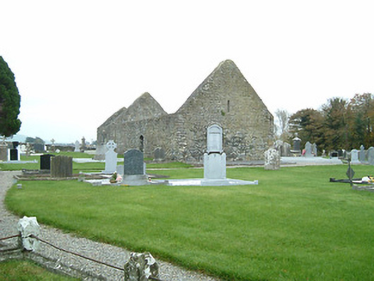 graveyard/cemeterygraveyard/cemetery · 96 yd
 CastleCastle, tower house · 177 yd
 TurretBawn · 194 yd
 Enclosure in UrlingfordEnclosure · 1223 yd
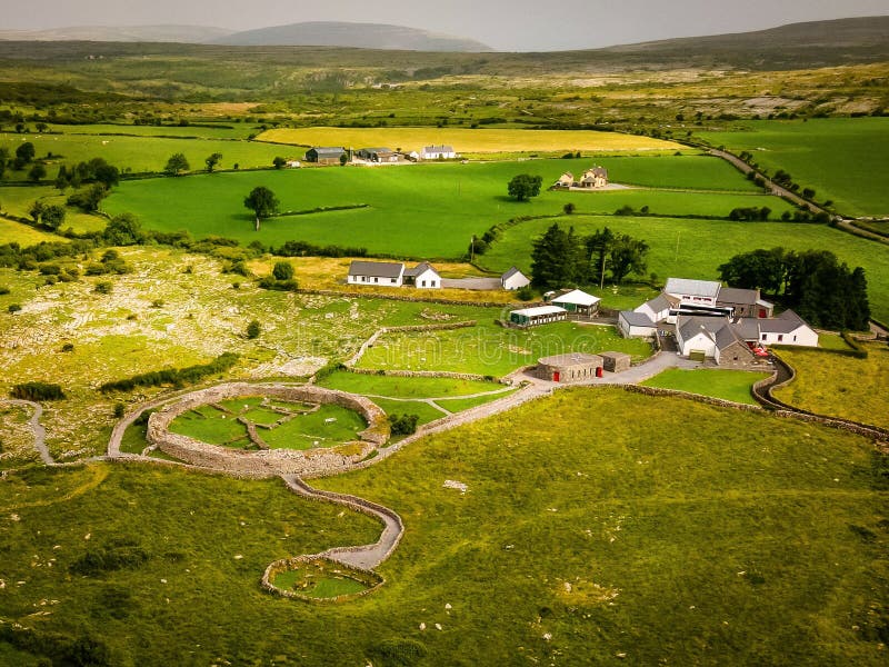 Borrismore Ringfort (Rath)Archaeological place · 1743 yd
 John HelyMemorial · 2.0 mi
 DelaneyMemorial · 2.1 mi
 Clomantagh HillMountain / peak · 3.4 mi
 KilcooleyForest · 3.8 mi
 Kilcooly AbbeyHeritage attraction · 3.9 mi
 Serpentine WoodForest · 3.9 mi