
What is recorded here
Enclosure in Tullygullin is a large almost circular natural rock-outcrop mound in County Cavan, Ireland, standing about four metres high and twenty-seven metres across at its base. A low earthen bank and partially infilled fosse still curve around its north and east, while ploughing has reduced the south to a faint scarp. The mound may have been a dwelling, a refuge or a marker for a lost household, yet even without those answers it remains a made shape on the land, waiting to be remembered.
Marked 'Fort' on OS 1836 and 1876 eds. Large almost circular natural rock-outcrop mound (diam. at base c. 27m; H c. 4m) encircled from NW-N-SE by a low earthen bank with partially infilled external fosse. Bank has been levelled from SE-S-SW and is identifiable only as a low scarp.
The above description is derived from the published 'Archaeological Inventory of County Cavan' (Dublin: Stationery Office, 1995). In certain instances the entries have been revised and updated in the light of recent research.
Date of upload/revision: 22 December 2008
The monument record does not grant public access. Check the route and ask the landowner before entering private land.
- What survives
- Recorded monument
Places near here
 BarrowBarrow, pond barrow · 895 yd
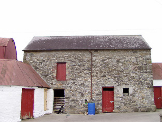 Columbia Houseoutbuilding · 1090 yd
 CartronfreeMountain / peak · 1264 yd
 Creevy Househouse · 1300 yd
 FortsFairy fort / earthen ringfort · 1619 yd
 IdicatedCastle, unclassified · 2.0 mi
 CarrickabaneMountain / peak · 2.0 mi
 Moynagh Upper ForestForest · 2.3 mi
 Bakers FortCastle, ringwork · 2.5 mi
 1798 Monumentmonument · 2.7 mi
 Carrick RockWood · 2.8 mi
 Granard MotteMotte-and-bailey castle remains · 2.8 mi
Other information
Photo: Credit not shown in the picture search · Rights wording not checked; contact us if this picture should be removed