What is recorded here
Identified during an aerial photographic survey by Dr. Gillian Barrett on 13 July 1990. Aerial photograph (GB90.BT.07) shows cropmark of a rectangular enclosure defined by a fosse.
Compiled by: Dr. Gillian Barrett
Date of upload: 12 December 2011
The monument record does not grant public access. Check the route and ask the landowner before entering private land.
- What survives
- Recorded monument
Places near here
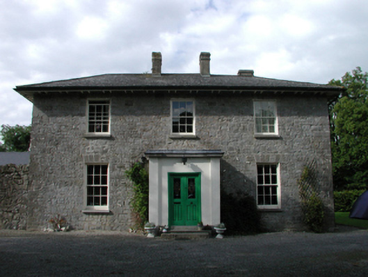 Ardmore Housefarm house · 298 yd
 Church in GeraldineChurch · 805 yd
 Enclosure in AghanureEnclosure · 851 yd
 Scots PineScots Pine · 978 yd
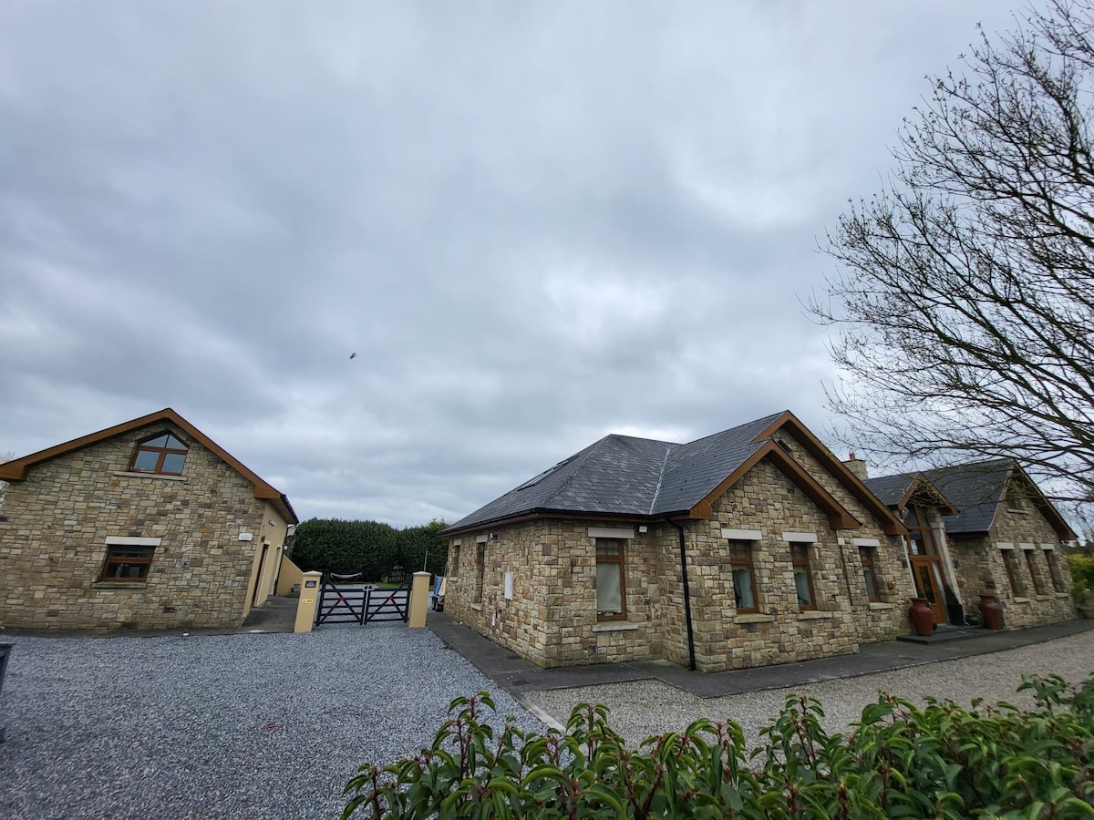 Font in Russellstown (athy Rural Ed)Font · 1242 yd
 European BeechEuropean Beech · 1.5 mi
 History of Moat of ArdscullVisitor information · 1.5 mi
 Gorden Bennet Race memorialMemorial · 1.5 mi
 Ardscull MoatCastle, motte · 1.6 mi
 Inch CastleCastle, tower house · 1.9 mi
 Athy War MemorialMemorial · 1.9 mi
 Town HallMuseum · 2.2 mi