What is recorded here
Identified from aerial photographs on Bing Maps (www.bing.com/maps/) and Google Earth, as a circular enclosure (diam. c. 35m).
Compiled by: Denis Power
Date of upload: 19 June 2013
The monument record does not grant public access. Check the route and ask the landowner before entering private land.
- What survives
- Recorded monument
Places near here
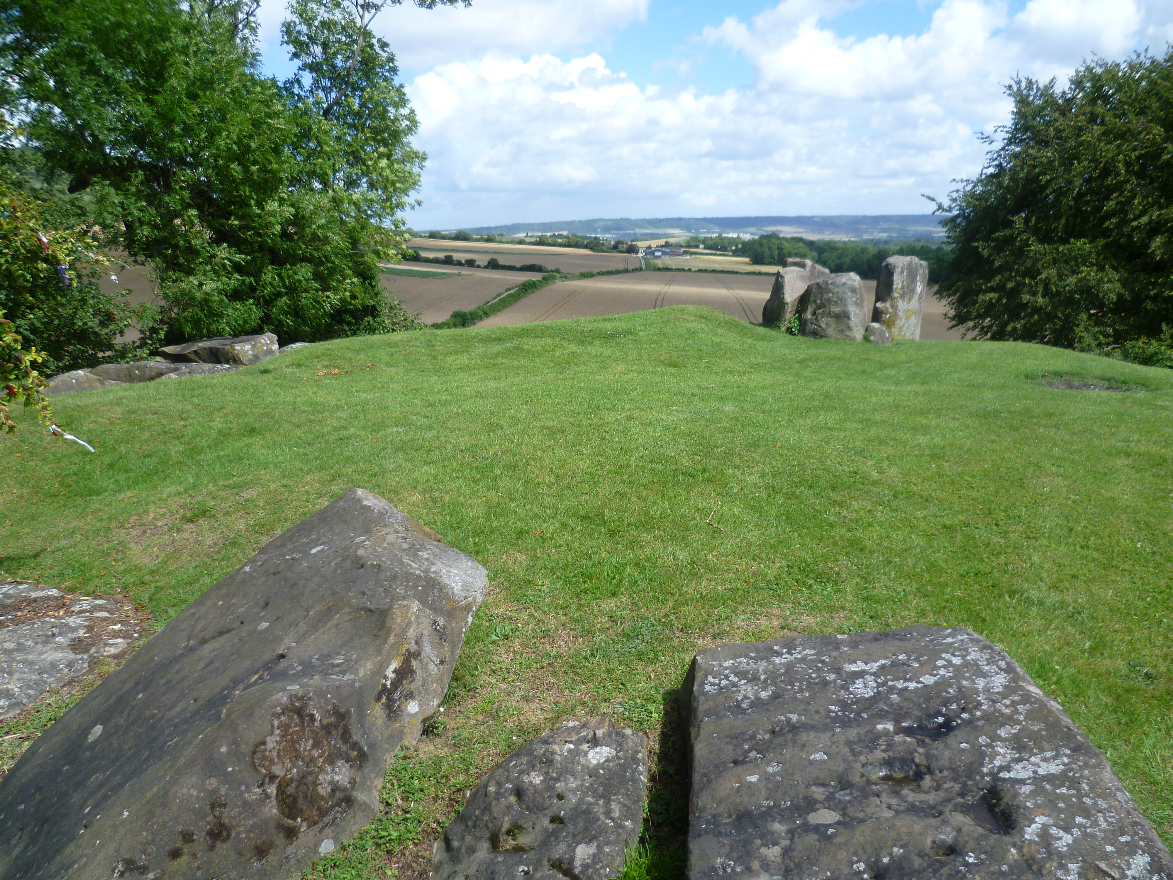 BarrowBarrow, ring-barrow · 872 yd
 Bawn in CarrigarreelyBawn · 932 yd
 Highpark Housecountry house · 1223 yd
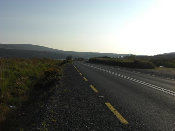 RoadRoad, road/trackway · 1303 yd
 Site of Killanoher Burial Gd.Children's burial ground · 1593 yd
 CastleCastle, unclassified · 1606 yd
 St Lawrence's WellSpring · 1.6 mi
 Wych ElmWych Elm · 1.7 mi
 Graveyard in AbingtonGraveyard · 3.2 mi
 Sliev Felim WayVisitor information · 4.6 mi
 Skool HillMountain / peak · 4.8 mi
 Banoge's WellSpring · 4.9 mi