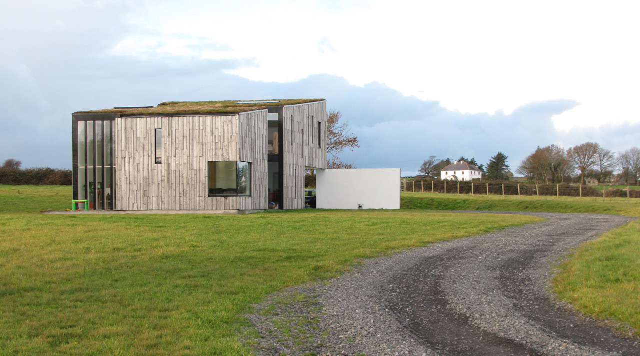
What is recorded here
Cropmark of bivallate enclosure (approx. int. diam. 40m) visible on Google Earth orthoimage and on Digital Globe orthophoto taken 2011-13.
See attached Google Earth orthoimage taken 03/07/2019
Compiled by: Caimin O'Brien based on details provided by Jean-Charles Caillère
Date of upload: 12 November 2020
The monument record does not grant public access. Check the route and ask the landowner before entering private land.
- What survives
- Recorded monument
Places near here
 IndicatedEnclosure · 213 yd
 Enclosure in TyrrellstownEnclosure · 972 yd
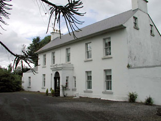 Salisbury Househouse · 979 yd
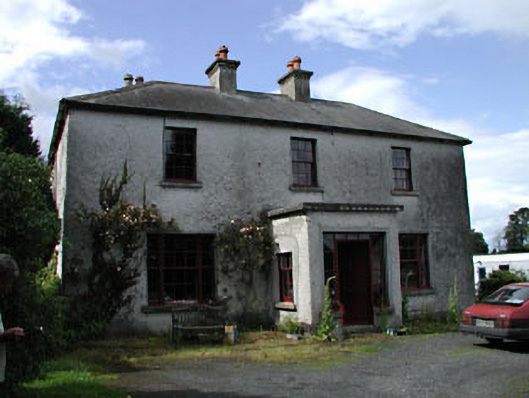 Moatstown Housemiller's house · 1446 yd
 Bawn in Townparks (athy West Urban Ed)Bawn · 1.5 mi
 Woodstock Castle (in Ruins)Castle, hall-house · 1.5 mi
 1798 memorialMemorial · 2.0 mi
 Ernest ShackletonMemorial · 2.0 mi
 Town HallMuseum · 2.0 mi
 Derryvullagh IslandForest · 2.6 mi
 Scots PineScots Pine · 2.6 mi
 History of Moat of ArdscullVisitor information · 3.6 mi
Other information
Photo: Credit not shown in the picture search · Rights wording not checked; contact us if this picture should be removed