What is recorded here
On a level shelf of ground on a gentle SW-facing slope in pasture. Depicted as a large oval enclosure with the designation 'Fort' on the 1837 ed. of the OS 6-inch map. A report in 1975 (SMR file) recorded a large, raised oval area (c. 77m NW-SE; c. 60m NE-SW) enclosed by a low bank of earth and stone. There was no trace of a fosse and the original entrance was not recognisable. The monument has since been levelled and is not visible at ground level. O'Donovan
Date of upload: 6 February 2012
On a level shelf of ground on a gentle SW-facing slope in pasture. Depicted as a large oval enclosure with the designation 'Fort' on the 1837 ed. of the OS 6-inch map. A report in 1975 (SMR file) recorded a large, raised oval area (c. 77m NW-SE; c. 60m NE-SW) enclosed by a low bank of earth and stone. There was no trace of a fosse and the original entrance was not recognisable. The monument has since been…
From the National Monuments Service (Archaeological Survey of Ireland) record LF011-020
The monument record does not grant public access. Check the route and ask the landowner before entering private land.
- What survives
- Recorded monument
Places near here
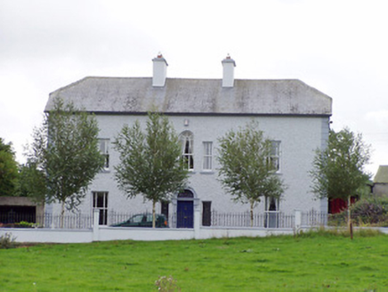 Creevy HouseHouse · 1113 ydDunclá or Black Pigs RaceArchaeological place · 1247 yd
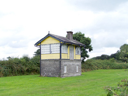 Ballywillin Railway StationSignal box · 1390 yd
 Sheela-na-gig in AbbeylaraSheela-na-gig · 1.5 miCarrickabaneMountain / peak · 1.8 miIndicatedCastle, unclassified · 2.0 miCartronfreeMountain / peak · 2.1 mi
 Myles O'Reilly MonumentMemorial · 2.1 miMoynagh Upper ForestForest · 2.5 mi
 1798 MonumentMonument · 2.5 mi
 Granard MotteMotte-and-bailey castle remains · 2.6 mi
 Moat of GranardCastle, motte and bailey · 2.6 mi
Pictures: National Inventory of Architectural Heritage; Gillaween, Wikimedia Commons · CC BY-SA 4.0; Cavanphotography, Wikimedia Commons · CC BY-SA 4.0; 2ManyCats4Me, Wikimedia Commons · CC0; Granard Motte.png : Smcq Derivative work: Hogweard, Wikimedia Commons · CC BY-SA 3.0
More archaeology and monuments in County Longford · All of County Longford
What do you know about this place?