What is recorded here
From the National Monuments Service (Archaeological Survey of Ireland) record WM001-001
This remains an important historical record, but the official description says the monument is no longer visible or has been destroyed. The monument record does not grant public access. Check the route and ask the landowner before entering private land.
- What survives
- No visible remains or recorded as destroyed
Places near here
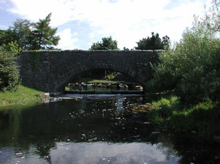 Finnea BridgeBridge · 49 yd
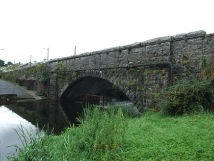 Finea BridgeBridge · 51 ydFinneaSettlement cluster · 61 yd
 Myles O'Reilly MonumentMemorial · 157 yd
 Sheela-na-gig in AbbeylaraSheela-na-gig · 2.6 mi
 Ross CastleCastle, tower house · 4.1 mi
 MullaghmeenMountain / peak · 4.3 mi
 1798 MonumentMonument · 4.5 mi
 Granard MotteMotte-and-bailey castle remains · 4.5 mi
 Moat of GranardCastle, motte and bailey · 4.5 mi
 Mullaghmeen White WalkWalking route · 4.6 mi
 Mullaghmeen Red WalkWalking route · 4.8 mi
Pictures: National Inventory of Architectural Heritage; Cavanphotography, Wikimedia Commons · CC BY-SA 4.0; Gillaween, Wikimedia Commons · CC BY-SA 4.0; Mike Searle, Geograph · CC BY-SA 2.0; Gavigan 01 at English Wikipedia, Wikimedia Commons · CC BY 2.5; 2ManyCats4Me, Wikimedia Commons · CC0; Granard Motte.png : Smcq Derivative work: Hogweard, Wikimedia Commons · CC BY-SA 3.0; Colin Park, Geograph · CC BY-SA 2.0
More castles and forts in County Westmeath · All of County Westmeath
What do you know about this place?