What is recorded here
The modern village of Finnea or Fiodh an Átha (the wood of the ford) appears to have been built on the site of a medieval settlement consisting of a cluster of dwellings flanking both sides of a medieval routeway crossing the Inny River at the medieval bridge (WM001-052----) of Finnea. This roadway and fording point was the main medieval routeway connecting Westmeath to Cavan (Manning 1997, 29). A medieval castle (WM001-001----) protected this bridge and fording point over the Inny River, in the 17th century an artillery fort (WM001A001-) was built to the W of the village. This cluster of dwellings and routeway are depicted on the 1657 Down Survey map of Fore Barony (NLI, MS 723-4). On this map a ruinous tower or castle is depicted standing in the field to the N of the road crossing the bridge and a cluster of dwellings stand either side of this roadway representing the medieval village or settlement of Finnea. According to Manning (1997, 31) there was a medieval settlement at Finnea located on the border of the Anglo-Norman lordship of Meath.
The modern village of Finnea or Fiodh an Átha (the wood of the ford) appears to have been built on the site of a medieval settlement consisting of a cluster of dwellings flanking both sides of a medieval routeway crossing the Inny River at the medieval bridge (WM001-052----) of Finnea. This roadway and fording point was the main medieval routeway connecting Westmeath to Cavan (Manning 1997, 29). A medieval castle…
From the National Monuments Service (Archaeological Survey of Ireland) record WM001-059
The monument record does not grant public access. Check the route and ask the landowner before entering private land.
- What survives
- Recorded monument
Places near here
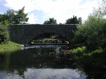 Finnea BridgeBridge · 62 yd
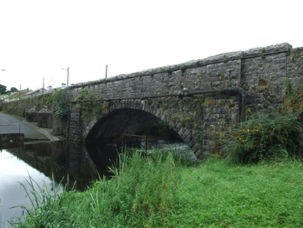 Finea BridgeBridge · 66 yd
 Myles O'Reilly MonumentMemorial · 113 ydBastioned fort in FinneaBastioned fort · 316 yd
 Sheela-na-gig in AbbeylaraSheela-na-gig · 2.5 mi
 Ross CastleCastle, tower house · 4.1 mi
 MullaghmeenMountain / peak · 4.3 mi
 1798 MonumentMonument · 4.5 mi
 Granard MotteMotte-and-bailey castle remains · 4.5 mi
 Moat of GranardCastle, motte and bailey · 4.5 mi
 Mullaghmeen White WalkWalking route · 4.6 mi
 Mullaghmeen Red WalkWalking route · 4.8 mi
Pictures: National Inventory of Architectural Heritage; Cavanphotography, Wikimedia Commons · CC BY-SA 4.0; Gillaween, Wikimedia Commons · CC BY-SA 4.0; Mike Searle, Geograph · CC BY-SA 2.0; Gavigan 01 at English Wikipedia, Wikimedia Commons · CC BY 2.5; 2ManyCats4Me, Wikimedia Commons · CC0; Granard Motte.png : Smcq Derivative work: Hogweard, Wikimedia Commons · CC BY-SA 3.0; Colin Park, Geograph · CC BY-SA 2.0
More archaeology and monuments in County Westmeath · All of County Westmeath
What do you know about this place?