
What is recorded here
Just on break between steep rocky uplands and less steep fertile valley side. There are good views to the N, S and W, it is overlooked to E. A ringfort (KK008-123----) is located c. 300m to the SW, a possible concentric enclosure (KK008-122001-) is c. 110m to the WSW and a ringfort (KK008-121----) is c. 150m to the NW. Indicated on the 1st (1839) OS 6-inch map and the 1900 revision as a roughly circular enclosure (dims. c. 28m N-S; c. 30m E-W). Shown on current ed. of the OS 6-inch map by platform convention. The enclosure is not visible at ground level.
Compiled by: Jean Farrelly
Date of upload: 22 January 2018
A local fairy fort (ringfort/rath); wider significance not recorded.
The monument record does not grant public access. Check the route and ask the landowner before entering private land.
- What survives
- Recorded monument
Places near here
 Concentric enclosure in SevensistersConcentric enclosure · 219 yd
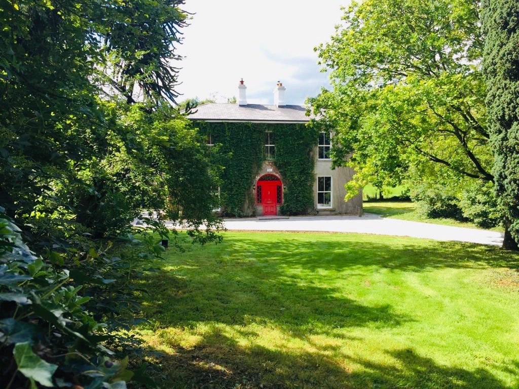 Enclosure in Balief UpperEnclosure · 772 yd
 Clomantagh HillMountain / peak · 822 yd
 Temple DonaghmoreChurch · 1584 yd
 CastleCastle, tower house · 1586 yd
 rectory/glebe/vicarage/curate's houserectory/glebe/vicarage/curate's house · 1659 yd
 John HelyMemorial · 1.6 mi
 DelaneyMemorial · 1.7 mi
 Killoshulan Castle (ruin)Castle · 2.2 mi
 Kildrinagh WoodForest · 3.3 mi
 Street fieldArchaeological place · 3.4 mi
 Anker's IslandIsland · 8.5 mi
Other information
Photo: Credit not shown in the picture search · Rights wording not checked; contact us if this picture should be removed