
What is recorded here
Situated on a rise in a gently undulating low-lying landscape. The cropmark of a small enclosure (ext. diam. c. 30m) defined by two slight fosses is visible on OSI aerial images (2000). It was first reported by Jean Charles Caillere.
See the attached enhance aerial view from OSI (2000)
Compiled by: Michael Moore
Date of upload: 3 June 2020
A local fairy fort (ringfort/rath); wider significance not recorded.
The monument record does not grant public access. Check the route and ask the landowner before entering private land.
- What survives
- Recorded monument
Places near here
 Enclosure in StickillinEnclosure · 736 yd
 Stickillin Church (in ruins)Church · 945 yd
 Graveyard in StickillinGraveyard · 953 yd
 IndicatedHoly well · 953 yd
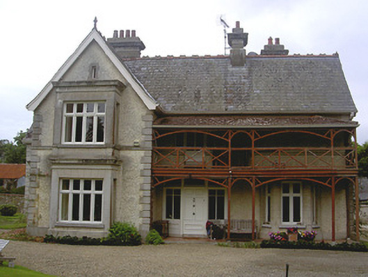 Stickillin Househouse · 1071 yd
 Roodstown CastleCastle, tower house · 1383 yd
 Drumcashel FortCastle, motte · 1.2 mi
 Graveyard in Richardstown (ardee By., Richardstown Par.)Graveyard · 1.7 mi
 Monterey CypressMonterey Cypress · 1.7 mi
 Lebanon CedarLebanon Cedar · 1.7 mi
 Drummeenagh HillMountain / peak · 5.0 mi
 Mount OrielMountain / peak · 5.1 mi
Other information
Photo: Credit not shown in the picture search · Rights wording not checked; contact us if this picture should be removed