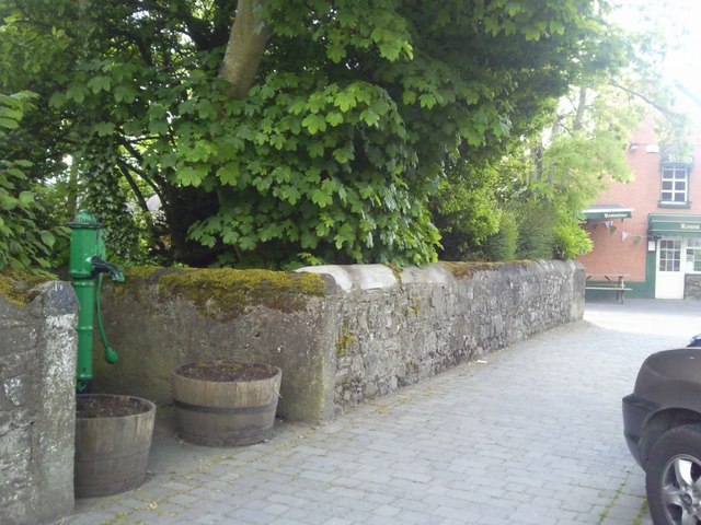
What is recorded here
Located at the NW end of a NW-SE spur. This feature was preserved beneath a twentieth century farmyard. Archaeological monitoring (04E0218) of the removal of the farm structures identified 20 archaeological features, most of which were resolved. Feature C is a circular area (diam. 37m) defined by a ditch (Wth 1m) with a narrow entrance at SW. The ditch has numerous fills, largely silts, but the upper fill contained charcoal and it might be a re-cut. A cow skull was in the ditch at N. A spindle whorl and prehistoric pottery, possibly Grooved ware, was recovered from the ditch. Surface finds included worked and rough flint and chert which were concentrated in the W part of the interior. In the E interior was a circular feature (diam. 9m) defined by a continuous ditch (Wth 0.3-0.6m) with a U-shaped profile that was filled largely with silty clays. There is some evidence of burning, and burnt bone and a fragment of a blue glass bead where recovered. The excavator regards this as a house structure although there was no hearth or entrance. The large enclosure is cut by two N-S ditches at W and a N-S field drain cuts the enclosure at E. A number of pits are in the area, some of which could be interpreted as kilns. (Dehaene 2004, 2007)
Compiled by: Michael Moore
Date of upload: 14 September 2020
The monument record does not grant public access. Check the route and ask the landowner before entering private land.
- What survives
- Recorded monument
Places near here
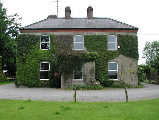 Park Househouse · 583 yd
 CrossCross, Market cross · 742 yd
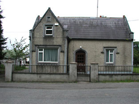 The Barrackshouse · 756 yd
 MotteArchaeological place · 924 yd
 MoatCastle, motte and bailey · 936 yd
 CastleCastle, unclassified · 2.0 mi
 Lemur WoodWood · 2.4 mi
 Emerald ParkHeritage attraction · 2.5 mi
 AshbourneMemorial · 3.7 mi
 Newtown HillMountain / peak · 3.9 mi
 Cornstown HouseHeritage attraction · 4.0 mi
 Caulstown Christmas Tree FarmForest · 4.4 mi
Other information
Photo: Credit not shown in the picture search · Rights wording not checked; contact us if this picture should be removed