
What is recorded here
Located on a SW-facing slope with the platform earthwork (ME048-014----) c. 80m to the NE. The cropmark of a circular enclosure (diam. c. 20m) in a cereal crop is visible on oblique aerial photograph (CUCAP: AHM 80). It is also visible on Google Earth (18/04/29009). Archaeological testing (05E0627) by R. Meenan c. 50m to the NE produced evidence of a ditch (Wth of top 1.4m plus; D 1.1m plus) close to the road, and a spread of burnt clay overlying the subsoil. The ditch was filled with a brown clay and produced some bone but no artefacts, and neither a date nor context can be ascribed to it (excavation.ie 2005:1236).
The above description is derived from the published 'Archaeological Inventory of County Meath' (Dublin: Stationery Office, 1987). In certain instances the entries have been revised and updated in the light of recent research.
Compiled by: Michael Moore
Date of revision: 13 August 2019
Amended: 16 February 2021
The monument record does not grant public access. Check the route and ask the landowner before entering private land.
- What survives
- Recorded monument
Places near here
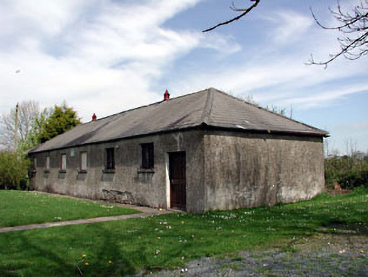 Baconstown National Schoolschool · 1469 yd
 Enclosure in Posseckstown (moyfenrath Lower By.)Enclosure · 1.1 mi
 Cloncurry MoatCastle, motte · 1.1 mi
 European ashEuropean ash · 1.1 mi
 Cloncurry GraveyardHeritage attraction · 1.2 mi
 Grave YardGraveyard · 1.2 mi
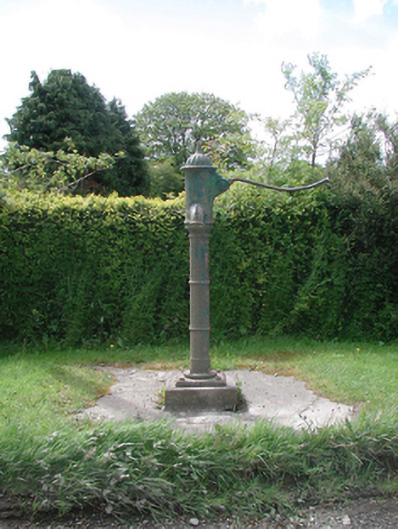 water pumpwater pump · 1.4 mi
 Old Bog Road made famous by Teresa Bryton 1868-1943Memorial · 1.5 mi
 CastleCastle, motte · 1.8 mi
 Wych ElmWych Elm · 2.9 mi
 Kilgar GardensHeritage attraction · 3.6 mi
 Mass was there in Penal TimesMemorial · 5.9 mi
Other information
Photo: Credit not shown in the picture search · Rights wording not checked; contact us if this picture should be removed