What is recorded here
Located at the E end of a slight E-W ridge. A rectangular enclosure with rounded corners is visible on oblique aerial photographs (CUCAP: AHM 5, AVO 68). This is a subrectangular grass-covered area (dims 77m E-W; 58m N-S) with slightly higher corners defined largely by a scarp (at E: Wth 1.6m; H 1.4m), and traces of a fosse especially at N (Wth of top 4m; ext. D 0.2m). The interior rises to a platform (dims 32m x 32m) at the highest point against the perimeter at S. It was overlain by a N-S field bank in 1984 and the area W of this (dim. 13m E-W) had been levelled producing clear evidence of the vegetation mark an outer fosse (Wth 4-6m) in this area. The visible profile had been removed by 1995 (OSAP).
The above description is derived from the published 'Archaeological Inventory of County Meath' (Dublin: Stationery Office, 1987). In certain instances the entries have been revised and updated in the light of recent research.
Compiled by: Michael Moore
Date of revision: 27 August 2019
The monument record does not grant public access. Check the route and ask the landowner before entering private land.
- What survives
- Recorded monument
Places near here
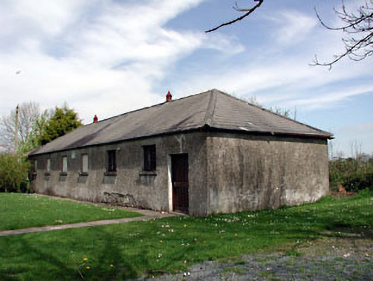 Baconstown National Schoolschool · 659 yd
 CastleCastle, motte · 1489 yd
 Enclosure in RathtroaneEnclosure · 1.0 mi
 IndicatedFairy fort / earthen ringfort · 1.1 mi
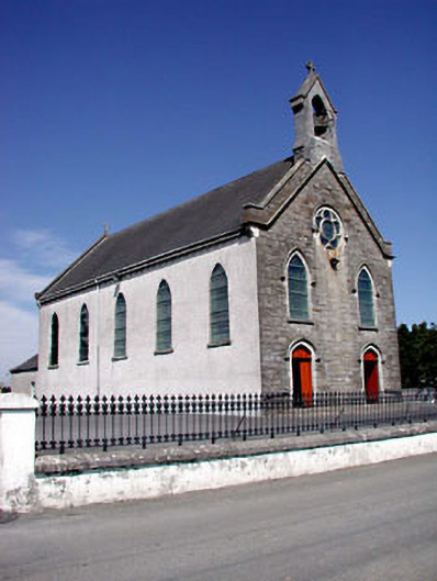 Catholic Church of the Assumptionchurch/chapel · 1.1 mi
 Wych ElmWych Elm · 2.0 mi
 Cloncurry MoatCastle, motte · 2.1 mi
 European ashEuropean ash · 2.1 mi
 Cloncurry GraveyardHeritage attraction · 2.1 mi
 Old Bog Road made famous by Teresa Bryton 1868-1943Memorial · 2.6 mi
 Kilgar GardensHeritage attraction · 4.4 mi
 Mass was there in Penal TimesMemorial · 6.9 mi