
What is recorded here
Castle, motte in Jordanstown (moyfenrath Lower By.) is a flat-topped earthen mound in County Meath, Ireland, rising two to six metres above a gently undulating landscape. Its twelve-metre top and thirty-five-metre base suggest a deliberate castle platform, though no ditch remains visible. The surrounding earthen bank may mark a lost tree-ring rather than a defensive moat, leaving the true purpose of the mound wrapped in grass and time.
Situated on a hillock in a gently undulating landscape. This is an overgrown and flat-topped mound (diam. of top 12m; diam. of base c. 35m; H 2m at to 6m). There is no visible fosse but it is surrounded by an earthen bank probably from a tree-ring.
The above description is derived from the published 'Archaeological Inventory of County Meath' (Dublin: Stationery Office, 1987). In certain instances the entries have been revised and updated in the light of recent research.
Compiled by: Michael Moore
Date of upload: 13 August 2019
The monument record does not grant public access. Check the route and ask the landowner before entering private land.
- What survives
- Recorded monument
Places near here
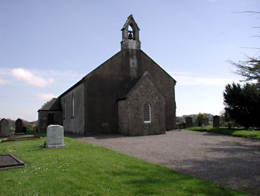 Saint Ultan's Church (Rathcore)church/chapel · 1057 yd
 Font in RathcoreFont · 1066 yd
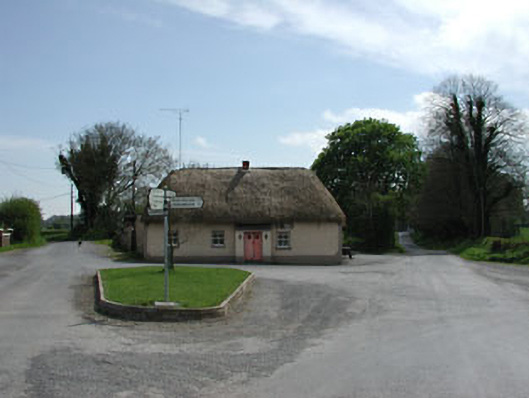 J. Bogganhouse · 1074 yd
 Tober UltanHoly well · 1134 yd
 Wych ElmWych Elm · 2.1 mi
 Bawn in Newcastle (moyfenrath Lower By.)Bawn · 2.2 mi
 Cloncurry MoatCastle, motte · 2.6 mi
 Cloncurry GraveyardHeritage attraction · 2.6 mi
 Old Bog Road made famous by Teresa Bryton 1868-1943Memorial · 3.3 mi
 European ashEuropean ash · 3.9 mi
 The Grill ShackHeritage attraction · 6.6 mi
 Croppies' GraveMemorial · 6.9 mi
Other information
Photo: Credit not shown in the picture search · Rights wording not checked; contact us if this picture should be removed