What is recorded here
OSI orthophoto (2005) shows cropmark of a curvilinear enclosure defined by a fosse.
Compiled by: Dr Gillian Barrett for the Archaeological Survey of Ireland.
Date of upload: 9 March 2012
The monument record does not grant public access. Check the route and ask the landowner before entering private land.
- What survives
- Recorded monument
Places near here
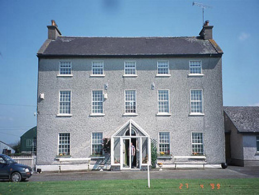 Rathrush Housefarm house · 667 yd
 Rath MahonFairy fort / earthen ringfort · 916 yd
 RathtoeEnclosure · 1449 yd
 Saint Patrick's Catholic Churchchurch/chapel · 1668 yd
 Kilmurry Church (in ruins), GraveyardChurch · 1.9 mi
 Site of CastleCastle, unclassified · 2.0 mi
 Castlegrace MoatCastle, motte · 2.0 mi
 Church (in ruins), GraveyardChurch · 3.1 mi
 European ashEuropean ash · 3.7 mi
 Scots PineScots Pine · 3.8 mi
 Altamont Gardens MapVisitor information · 3.9 mi
 Altamont House and GardensHeritage attraction · 3.9 mi