What is recorded here
On a gradual S-facing slope in generally undulating pasture. Valley running E-W at base of slope. Monument levelled but still visible as a roughly circular enclosure (diam. 37m N-S; 41m E-W) defined by a low scarp (H 0.3m) and wide, shallow, flat-bottomed fosse (Wth 3.1m; D 0.13m). The interior is fairly level.
Compiled by: Jean Farrelly
Date of upload: 26 August 2011
The monument record does not grant public access. Check the route and ask the landowner before entering private land.
- What survives
- Recorded monument
Places near here
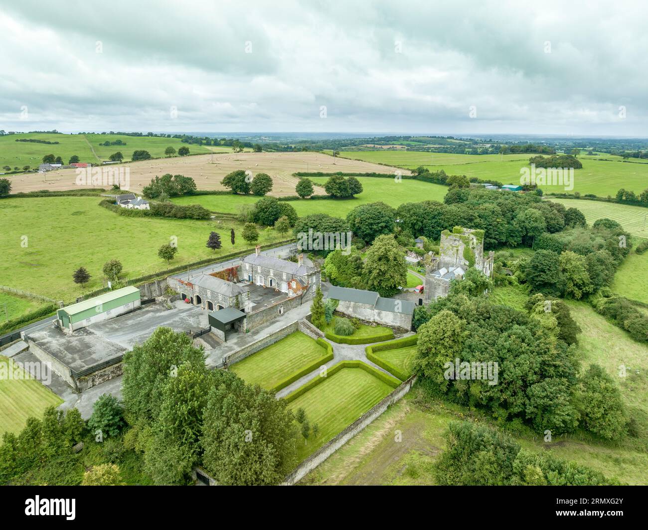 Enclosure in Lawlesstown (kiltegan Par.)Enclosure · 241 yd
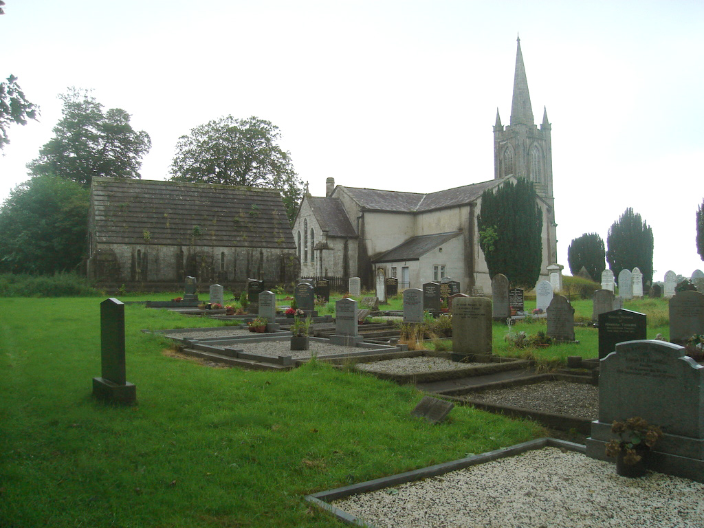 Church (in Ruins)Church · 873 yd
 Burial GroundEcclesiastical enclosure · 886 yd
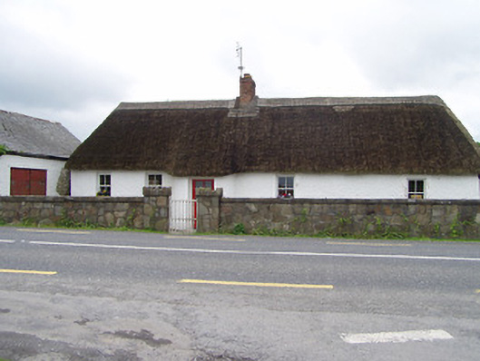 The Thatchhouse · 1.0 mi
 Pedunculate OakPedunculate Oak · 1.9 mi
 RathronanCastle, ringwork · 1.9 mi
 Bawn in MullaghnoneyBawn · 2.1 mi
 Toberaheena WellSpring · 2.1 mi
 Siege of Clonmelsiege · 2.3 mi
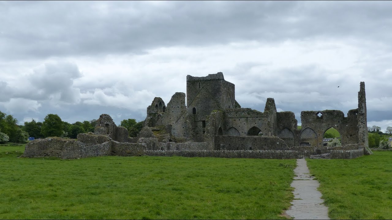 Gairdín Gharraí na LeadhbMemorial · 2.3 mi
 Vincent HanleyMemorial · 2.5 mi
 Grubb's IslandIslet · 2.6 mi