What is recorded here
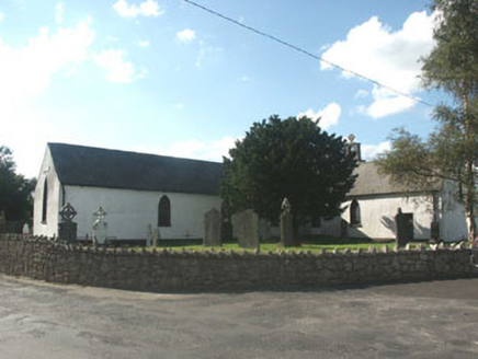
The following description is derived from the published 'Archaeological Inventory of County Carlow' (Dublin: Stationery Office, 1993). Enclosed by large stone wall, shown on 1907 'OS 6-inch' map. Possibly a tree ring.
From the National Monuments Service (Archaeological Survey of Ireland) record CW005-004
The monument record does not grant public access. Check the route and ask the landowner before entering private land.
- What survives
- Recorded monument
Places near here
Photo credits
- National Inventory of Architectural Heritage
- David Purchase, Wikimedia Commons · CC BY-SA 2.0
- Jonathan Billinger, Geograph · CC BY-SA 2.0
- Maker named on the Wikimedia Commons picture page · CC BY-SA 2.5
- liam murphy, Wikimedia Commons · CC BY-SA 2.0
- Malene Thyssen, Wikimedia Commons · CC BY-SA 3.0
 Knockananna Catholic ChurchChurch/chapel · 1133 ydIndicatedFairy fort / earthen ringfort · 1393 ydEnclosure in ArdnaboyEnclosure · 1.0 mi
 Saint Brigid's Catholic ChurchChurch/chapel · 1.9 mi
 Eagle HillMountain / peak · 2.2 mi
 Sessile Oak2.6 miBallycumber HillMountain / peak · 2.9 miCastleCastle, motte · 2.9 miLuke O'Toole MemorialMemorial · 3.9 mi
 Clonmore Castle (in Ruins)Castle, Anglo-Norman masonry castle · 4.0 miChapel (in ruins), GraveyardChurch · 4.2 mi
 European Beech4.9 mi
More archaeology and monuments in County Carlow · All of County Carlow
What do you know about this place?