What is recorded here
An aerial photograph (ASIAP 220: 9) taken in 2001 shows cropmark evidence for a circular enclosure with an opening at the SSE. It lies to the NW of a ringfort (LF027-015----).
From the National Monuments Service (Archaeological Survey of Ireland) record LF027-053
The monument record does not grant public access. Check the route and ask the landowner before entering private land.
- What survives
- Recorded monument
Places near here
 European Beech342 ydFulacht fia in Rathmore (shrule By.)Fulacht fia · 574 yd
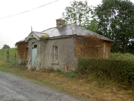 Cartron HouseGate lodge · 629 yd
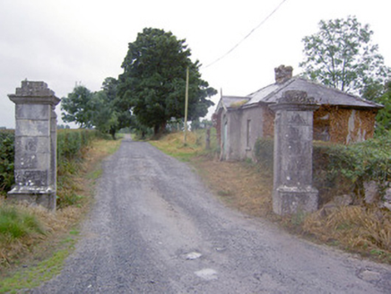 Cartron HouseGates/railings/walls · 635 ydIndicatedFairy fort / earthen ringfort · 793 ydCastleCastle, motte · 1.1 miOutlinedCastle, unclassified · 1.6 miNoughaval CemeteryArchaeological place · 1.7 miTarget WoodWood · 2.6 miNewcastle WoodsForest · 2.7 mi
 Leveret IslandIslet · 4.7 mi
 Corlea Trackway Interpretative CentreHeritage attraction · 5.1 mi
Pictures: Malene Thyssen, Wikimedia Commons · CC BY-SA 3.0; National Inventory of Architectural Heritage; David Baird, Geograph · CC BY-SA 2.0; Sheila1988, Wikimedia Commons · CC BY-SA 4.0
More archaeology and monuments in County Longford · All of County Longford
What do you know about this place?