What is recorded here
Aerial photo (GSI N 539/540) shows enclosure (diam. c. 15m) delimited by a fosse and situated in lowlying wet land at western edge of a raised bog. Not located at time of inspection.
From the National Monuments Service (Archaeological Survey of Ireland) record OF010-031
The monument record does not grant public access. Check the route and ask the landowner before entering private land.
- What survives
- Recorded monument
Places near here
Photo credits
- National Inventory of Architectural Heritage
- Sarah777 at en.wikipedia, Wikimedia Commons · Public domain
- Trenchspike, Wikimedia Commons · CC BY-SA 4.0
- JP, Geograph · CC BY-SA 2.0
Not indicatedStructure, peatland · 491 ydStructureStructure, peatland · 510 ydCastleCastle, unclassified · 1444 yd Saint Francis's Church (Ballycommon)Church/chapel · 1643 ydGraveyard in BallycommonGraveyard · 1663 ydfarm house1.1 miSaint Clavin's WellSpring · 1.4 miKill Castle (ruins)Castle, tower house · 1.6 miLackan HillMountain / peak · 2.1 miCroghan HillMountain / peak · 4.4 miFather BurbageMemorial · 5.0 miGrand Canal WayWalking route · 5.1 mi
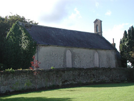 Saint Francis's Church (Ballycommon)Church/chapel · 1643 ydGraveyard in BallycommonGraveyard · 1663 yd
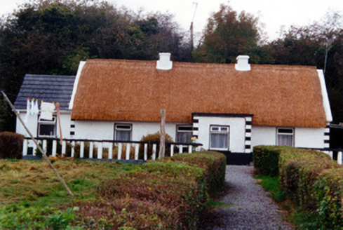 farm house1.1 miSaint Clavin's WellSpring · 1.4 miKill Castle (ruins)Castle, tower house · 1.6 miLackan HillMountain / peak · 2.1 mi
 Croghan HillMountain / peak · 4.4 mi
 Father BurbageMemorial · 5.0 mi
 Grand Canal WayWalking route · 5.1 mi
More archaeology and monuments in County Offaly · All of County Offaly
What do you know about this place?