What is recorded here
This site was located in the industrial peatlands of Daingean South Bog. It was first recorded in the 2013 Reassessment Peatland Survey as four light brushwood elements (max. diam. 0.03m) exposed in section in an E drain face, 0.08m below the field surface. It was laid in moderately humified Sphagnum peat (Whitaker 2014). The find spot was relocated in 2014 (licence 14E0300) using GPS, but no wood remained in situ (Whitaker 2017). A fragment of pomoideae was chosen for AMS dating and returned a result of cal. AD 997-1155 (UBA 26591).
From the National Monuments Service (Archaeological Survey of Ireland) record OF010-496
The monument record does not grant public access. Check the route and ask the landowner before entering private land.
- What survives
- Recorded monument
Places near here
Photo credits
- National Inventory of Architectural Heritage
- Sarah777 at en.wikipedia, Wikimedia Commons · Public domain
- Trenchspike, Wikimedia Commons · CC BY-SA 4.0
StructureStructure, peatland · 40 ydStructureStructure, peatland · 95 yd farm house1645 ydCastleCastle, unclassified · 1.1 miSaint Francis's Church (Ballycommon)Church/chapel · 1.1 miGraveyard in BallycommonGraveyard · 1.1 miSaint Clavin's WellSpring · 1.5 miKill Castle (ruins)Castle, tower house · 1.6 miLackan HillMountain / peak · 2.2 miChildren's WellSpring · 2.6 miCroghan HillMountain / peak · 4.2 miFather BurbageMemorial · 4.9 mi
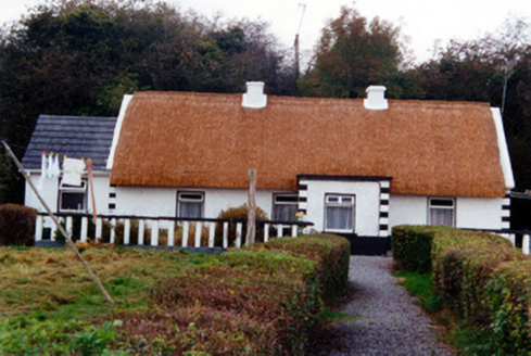 farm house1645 ydCastleCastle, unclassified · 1.1 mi
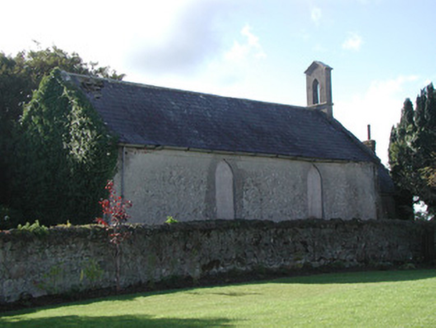 Saint Francis's Church (Ballycommon)Church/chapel · 1.1 miGraveyard in BallycommonGraveyard · 1.1 miSaint Clavin's WellSpring · 1.5 miKill Castle (ruins)Castle, tower house · 1.6 miLackan HillMountain / peak · 2.2 miChildren's WellSpring · 2.6 mi
 Croghan HillMountain / peak · 4.2 mi
 Father BurbageMemorial · 4.9 mi
More archaeology and monuments in County Offaly · All of County Offaly
What do you know about this place?