
Places near here
Photo credits
- Maker not stated on source page, www.pinterest.com
- National Inventory of Architectural Heritage
- Kmcnamee, Wikimedia Commons · CC BY-SA 4.0
 CastleCastle, unclassified · 1422 yd
Explorer Tom Ballyvorheen Castle is so lost even the seagulls have given up on it. They say it’s actually a very large, confused…
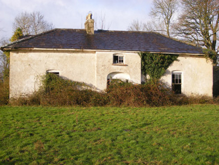 Portnard HouseCountry house · 1453 yd
Explorer Tom Portnard House in Portnard was built for a bargain price but looks like it cost a fortune. It’s only one storey high…
 bridge1.1 mi
Explorer Tom Bridge in Ballyvorheen smells like old stone and wet dog, according to Tom's expert nose. The stonework is fancy but…
 Cappamore GAA pitchGAA ground · 1.2 mi
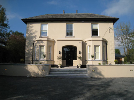 Dun-na-nDroicheadHouse · 1.4 mi
Explorer Tom Dun-na-nDroichead would want 'Survivor of Many Renderings' on its tombstone, given how well it’s maintained with those…
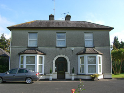 Ross HouseHouse · 1.4 mi
Explorer Tom Ross House in Portnard has these fancy bay windows that act like giant binoculars, scanning for any neighbour who dares…
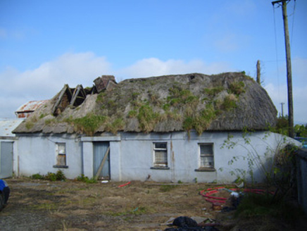 farm house1.5 mi
Explorer Tom Farm house in Cappamore is locked in a bitter feud with the rain over who owns the windbreak. Its asymmetrical face…
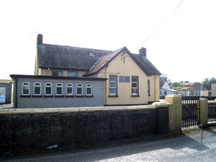 Cappamore Boys' National SchoolSchool · 1.6 mi
Explorer Tom Cappamore Boys' National School had a fiddler who played all night in the T-plan corridors until the chimneystacks…
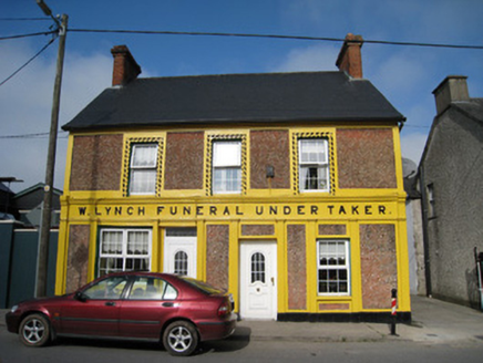 W. LynchHouse · 1.6 mi
Explorer Tom W. Lynch in Turagh holds a fake world record for having the most interesting render texture that makes you want to…
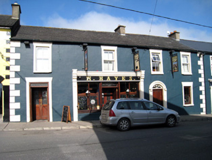 W. HayesHouse · 1.7 mi
Explorer Tom W. Hayes has a curse that only hits people who don’t wave. I waved, so I’m safe, mostly speaking from personal…
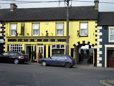 T. O'DwyerHouse · 1.7 mi
Explorer Tom T. O'Dwyer is judging the road leading up to it with that classic, superior pub-front glare that says 'you're late…
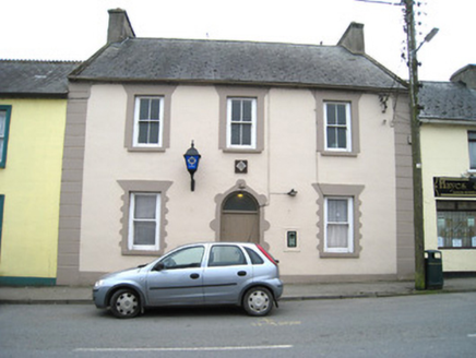 Cappamore Garda Síochána StationHouse · 1.7 mi
Explorer Tom Cappamore Garda Síochána Station had a bad poem written about it that rhymed 'slate roof' with 'goat hoof,' which…
More archaeology and monuments in County Limerick · All of County Limerick

What do you know about this place?Tap to add a comment or ask a question