
What is recorded here
Bridge in Ballyvorheen has a stone plaque placed where you cannot get near enough to read it. A magnificent way to commemorate yourself: your name preserved for centuries, your enemies unable to check the spelling.
Single-arch limestone road bridge, built c. 1820, carrying road over the River Doogleaha. Rubble limestone spandrel walls with cut sandstone voussoirs to round-headed arch. Cut limestone plaque to south-west elevation. Dressed copings to parapet wall.
The construction of this bridge exhibits the work of skilled craftsmen. This is especially visible in the stonework applied to the finishing of the voussoirs, which adds textural variation to the appearance of the bridge. Plaque on south-west elevation inacessible to read.
From the Buildings of Ireland (National Inventory of Architectural Heritage) record 21901504
This does not grant access. Most recorded buildings are privately owned; view them only from public ground unless the owner allows entry.
Places near here
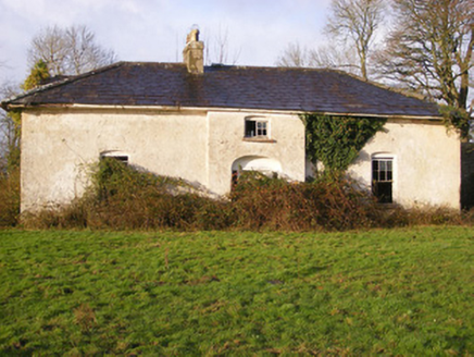 Portnard HouseCountry house · 1050 yd
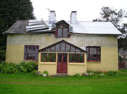 Glenstal FarmFarmyard complex, house · 1400 yd
 Portnard HouseGate lodge · 1587 ydSliev Felim WayVisitor information · 1.7 miSlieve Felim WayWalking route · 2.0 miGraveyard in AbingtonGraveyard · 2.7 mi
 Slieve FelimMountain / peak · 3.0 mi
 CastleCastle, motte and bailey · 3.4 mi
 Coonagh CastleCastle · 5.9 mi
 Grave YardGraveyard · 18 mi
 SlievereaghMountain / peak · 18 mi
 Ladys WellHoly well · 18 mi
Pictures: National Inventory of Architectural Heritage; Antony Dixon, Wikimedia Commons · CC BY-SA 2.0; Garry Dickinson, Geograph · CC BY-SA 2.0; Mike Searle, Wikimedia Commons · CC BY-SA 2.0; Hywel Williams, Geograph · Creative Commons Attribution-ShareAlike 2.0; Colin Park, Geograph · CC BY-SA 2.0
More historic places in County Limerick · All of County Limerick
What do you know about this place?