What is recorded here
On a S-facing slope, in rough upland pasture, with excellent views from E-S-SW. Within S area of field system (LI024-044001-) and lies 155m to SSW of hut site (LI024-044003-), 200m SE of enclosure (LI024-044004-) and 70m NE of a townland boundary with Knockgrean. Depicted on the revised 1897 ed. OSi 25-inch map as an oval-shaped earthwork. Monument described by O’Dwyer (1959, 75-77) as a circular-shaped platform (diam. 66ft/20.1m) with slight evidence of a bank on the edge. The fosse (Wth 6ft/1.8m) is best preserved from S-W-N. Monument surveyed by the ASI in 2008 and described as a circular-shaped area (diam. 14m) defined by bank (Wth 3.7m; int. H 0.8m; ext. H 0.95m) which is best preserved from WSW-N-NNE, by a bank (Wth 3.9m; int. H 0.18m; ext. H 1.55m) from SE-S-SW, which is reduced to a scarp from E-ESE-SE. Two large stones protrude from the exterior of the scarp at SE. A fosse (overall Wth 4.55m; basal Wth 1.8m; D 0.85m) is visible from WSW-W-N-NNE and is traceable from E-ESE-SE. A field boundary (Wth 3.5m; H 0.4m at NW; H 0.75m at SE) running NE-SW bisects the monument. The interior is generally level and grass covered. Monument is visible as a roughly circular-shaped earthwork on ASIAP (309, 33), on OSi orthoimage taken 2005-2012, on Digital Globe orthoimage taken 2011-201, and on Google Earth orthoimage taken 18/11/2018.
See attached profile drawn by O’Dwyer in 1959, sketch plan and cross-section surveyed and drawn by the ASI in 2008, ASIAP (309, 32, 33) and Google Earth orthoimage taken 18/11/2018.
Compiled by: Alison McQueen and Vera Rahilly
Date of upload: 29 September 2020
The monument record does not grant public access. Check the route and ask the landowner before entering private land.
- What survives
- Recorded monument
Places near here
 Hut site in Glen (clanwilliam By.)Hut site · 193 yd
 Field system in Glen (clanwilliam By.)Field system · 253 yd
 KnockseefinMountain / peak · 809 yd
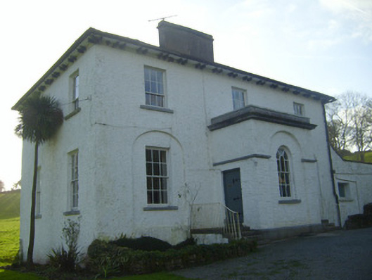 Moymore Houserectory/glebe/vicarage/curate's house · 863 yd
 (Site of) Nicker CastleCastle, unclassified · 925 yd
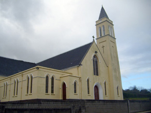 Catholic Church of Saint John the Baptistchurch/chapel · 999 yd
 Pallas MoatCastle, motte · 1479 yd
 ToberagaddySpring · 1.5 mi
 St. Patrick's WellSpring · 2.5 mi
 Kilteely HillMountain / peak · 2.9 mi
 Flat cemetery in Knockainy WestFlat cemetery · 6.9 mi
 Ballinvreena LoopVisitor information · 12 mi