
What is recorded here
Situated on the NE-facing slope of a slight NW-SE ridge (L c. 400m; H c. 2-4m). The cropmark of a D-shaped enclosure (dims c. 48m E-W; c. 40m N-S) defined by a single fosse is visible only on iMAPs (2022). The straight side at S (L c. 35m) incorporates the N side of a rectangular pond (dims c. 30m N-S; c. 20m E-W) that is visible on the aerial image and is represented on the 1902 edition of the OS 6-inch map. A NNE-SSW drain runs through the enclosure from the N edge of the pond. It was first reported by Jean Charles Caillére.
See the attached enhanced view from iMAPs (2022)
Compiled by: Michael Moore
Date of upload: 6 June 2023
A local fairy fort (ringfort/rath); wider significance not recorded.
The monument record does not grant public access. Check the route and ask the landowner before entering private land.
- What survives
- Recorded monument
Places near here
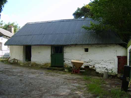 outbuildingoutbuilding · 565 yd
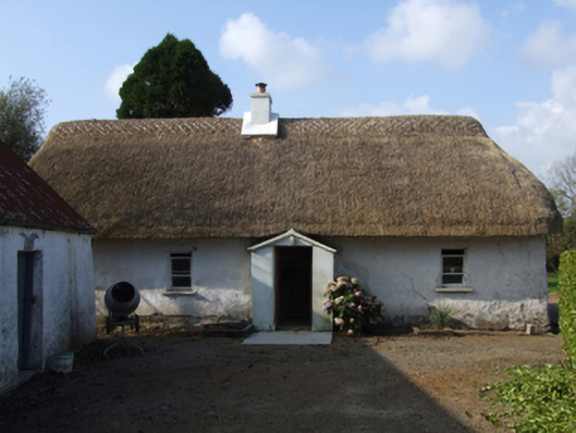 farm housefarm house · 838 yd
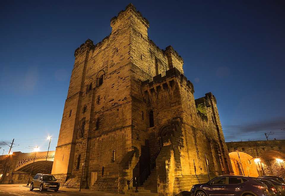 (Site of) CastleCastle, unclassified · 920 yd
 (site of) Polehore CastleCastle, unclassified · 1.2 mi
 CrossCross, Churchyard cross · 1.3 mi
 St. Patricks WellHoly well · 1.3 mi
 Irish National Heritage ParkHeritage attraction · 1.7 mi
 CrannogHeritage attraction · 1.7 mi
 Ferrycarrig AmbushMemorial · 1.8 mi
 Celebrating 125 YearsMemorial · 1.8 mi
 Dawn RedwoodDawn Redwood · 3.2 mi
 Rectory Hall ForestWood · 3.5 mi
Other information
Photo: Credit not shown in the picture search · Rights wording not checked; contact us if this picture should be removed