What is recorded here
One chamber, eighty centimetres of memory, swallowed by grass. The valley keeps its shape while the castle forgets its own name.
Marked faintly as a rectangular structure (dims. c. 8m x c. 6m) on the 1839 ed. of the OS 6-inch map and described as the 'site of Castle' on that and the 1941 ed. It is located in the valley of The W-E Polehore Pill, which is c. 50m to the N. There is no knowledge of a second castle at Polehore besides (WX037-014----). There are no visible remains of a structure at ground level in a pasture field called the Castle field.
The above description is derived from the published 'Archaeological Inventory of County Wexford' (Dublin: Stationery Office, 1996). In certain instances the entries have been revised and updated in the light of recent research.
Compiled by: Michael Moore
Date of upload/revision: 14 December, 2012
This remains an important historical record, but the official description says the monument is no longer visible or has been destroyed. The monument record does not grant public access. Check the route and ask the landowner before entering private land.
- What survives
- No visible remains or recorded as destroyed
Places near here
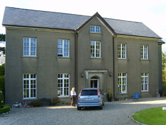 Polehore Housecountry house · 974 yd
 (site of) Polehore CastleCastle, unclassified · 1046 yd
 St. Nicholass WellHoly well · 1147 yd
 (site of) Chapel CaronChurch · 1225 yd
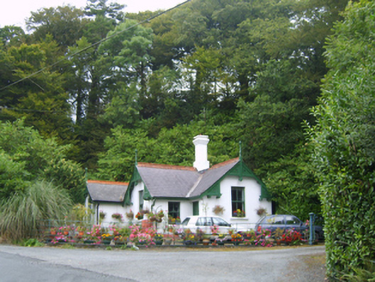 Healthfield Housegates/railings/walls · 1337 yd
 Celebrating 125 YearsMemorial · 1.2 mi
 Site of CastleCastle, unclassified · 1.6 mi
 Battle Of The Three RocksMemorial · 1.9 mi
 Battle of Three Rocksbattle · 1.9 mi
 Irish National Heritage ParkHeritage attraction · 2.0 mi
 Fulacht FiadhHeritage attraction · 2.0 mi
 Carrickshinna RockMountain / peak · 2.5 mi