What is recorded here
Marked only on the 1941 ed. of the OS 6-inch map where it is described as St. Nicholas’ Well. St. Nicholas of Myra, whose feastday falls on the 6th December, was a 4th century bishop in Turkey and a renowned gift-giver, on whom much of the character of Santa Claus is based (http://en.wikipedia.org/wiki/Saint_Nicholas), but there is no record of a pattern. The well is situated at the bottom of a steep S-facing slope and 5m N of a SW-NE stream. The well (dims 1.35m E-W; 1.1m N-S) is excavated into the slope (D 1.7m at N, upslope) and it is lined with stones which have collapsed into the well, but water still runs from it to the stream. There is no evidence of veneration, although it was visited for health cures inthe 1940s (OSFM). The church site of Chapel Carron (WX037-011001-) is c. 280m downstream to the NE.
Marked only on the 1941 ed. of the OS 6-inch map where it is described as St. Nicholas’ Well. St. Nicholas of Myra, whose feastday falls on the 6th December, was a 4th century bishop in Turkey and a renowned gift-giver, on whom much of the character of Santa Claus is based (http://en.wikipedia.org/wiki/Saint_Nicholas), but there is no record of a pattern. The well is situated at the bottom of a steep S-facing…
From the National Monuments Service (Archaeological Survey of Ireland) record WX037-010
The monument record does not grant public access. Check the route and ask the landowner before entering private land.
- What survives
- Recorded monument
Places near here
Photo credits
- National Inventory of Architectural Heritage
- Mike Searle, Wikimedia Commons · CC BY-SA 2.0
- Richard Webb, Geograph · CC BY-SA 2.0
- Maker named on the Wikimedia Commons picture page · CC BY-SA 3.0
- Jonathan Thacker, Geograph · CC BY-SA 2.0
- David Purchase, Geograph · Creative Commons Attribution-ShareAlike 2.0
- Thommcg1980, Wikimedia Commons · CC BY-SA 4.0
- AFBorchert, Wikimedia Commons · CC BY-SA 4.0
- Danielclauzier, Wikimedia Commons · CC BY-SA 3.0
- Walter Siegmund (talk), Wikimedia Commons · CC BY-SA 3.0
- David Hawgood, Wikimedia Commons · CC BY-SA 2.0
 farm house344 yd
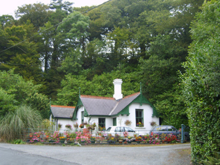 Healthfield HouseGates/railings/walls · 486 yd
_-_geograph.org.uk_-_3716000.jpg/250px-Castles_of_Leinster,_Barntown,_Wexford_(2)_-_geograph.org.uk_-_3716000.jpg "Photo: Mike Searle, Wikimedia Commons · CC BY-SA 2.0") CastleCastle, tower house · 2.5 mi
CastleCastle, tower house · 2.5 mi Forth MountainMountain / peak · 3.4 mi
 Dawn Redwood3.6 mi
 Taghmon CastleCastle · 4.6 mi
 Clonmore Grave YardGraveyard · 4.7 mi
 Commodore John Barry MemorialMemorial · 5.0 mi
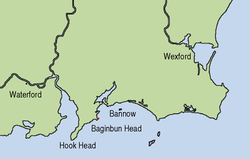 Siege of WexfordSiege · 5.2 mi
 Sack of WexfordSiege · 5.2 mi
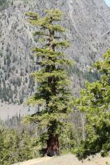 Douglas-fir5.5 mi
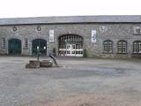 Johnstown CastleCastle · 5.6 mi
More archaeology and monuments in County Wexford · All of County Wexford
What do you know about this place?