What is recorded here
This square encloure or platform was identified on Lidar coverage (Pers. comm. Dr. Stephen Davis, UCD, School of Archaeology).
Compiled by Geraldine Stout
Date of upload: 15/03/2012
The monument record does not grant public access. Check the route and ask the landowner before entering private land.
- What survives
- Recorded monument
Places near here
 EnclosureEnclosure, large enclosure · 1.3 mi
 BarrowBarrow, unclassified · 1.3 mi
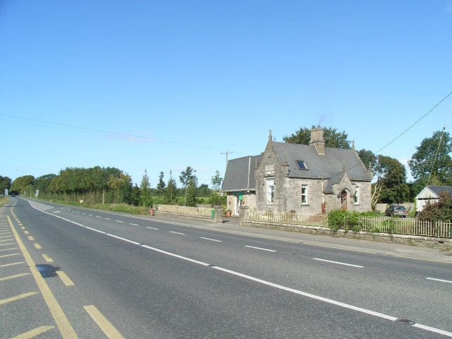 Balrath Post Officepost office · 1.4 mi
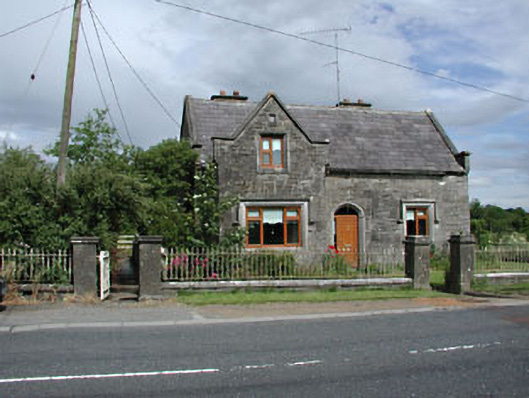 Stone LodgeRIC barracks · 1.4 mi
 European BeechEuropean Beech · 1.6 mi
 Athcarne CastleCastle, tower house · 2.1 mi
 Common LimeCommon Lime · 2.6 mi
 Boyne Currach CentreHeritage attraction · 3.3 mi
 NewgrangeHeritage attraction · 3.6 mi
 Brú na Bóinne Visitors CentreVisitor information · 3.7 mi
 Dowth CastleCastle, tower house · 4.4 mi
 Candle HillMountain / peak · 4.7 mi
Other information
Photo: Credit not shown in the picture search · Rights wording not checked; contact us if this picture should be removed