
What is recorded here
From the National Monuments Service (Archaeological Survey of Ireland) record CO095-122
Places near here
Photo credits
- National Inventory of Architectural Heritage
- Frabjousone, Wikimedia Commons · CC BY-SA 4.0
- Maker not stated on source page, www.alamy.com
- Mike Minihan / The Echo, www.echolive.ie
- Maker not stated on source page, it.pinterest.com
- Larry Cummins / EchoLive, www.echolive.ie
- Maker not stated on source page, www.dreamstime.com
- Maker not stated on source page, www.pinterest.com
 Mount Pleasant SchoolSchool · 1.4 mi
Explorer Tom Mount Pleasant School in Curravordy would win the county fair for best looking structure, hands down. It’s got those…
 farm house1.5 mi
Explorer Tom Farm house in Farranalough is being all modest with its off-centre door and limed walls. It’s a vernacular gem that…
 garage1.5 mi
Explorer Tom Garage in Newcestown, County Cork is a time capsule from 1953. A stepped gable-fronted place with two old petrol pumps…
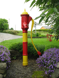 water pump1.5 mi
Explorer Tom Water pump in Newcestown holds the unofficial world record for 'most times left running with no one there,' which is…
 Michael Collins MemorialMemorial · 1.6 mi
Explorer Tom Michael Collins Memorial in County Cork is definitely the shortcut that is actually a dead end. It looks official but…
Michael Collins MonumentMonument · 1.6 miExplorer Tom The Michael Collins Monument in Glannarouge West marks where he was assassinated in 1922 during the Béal na Blá Ambush.…
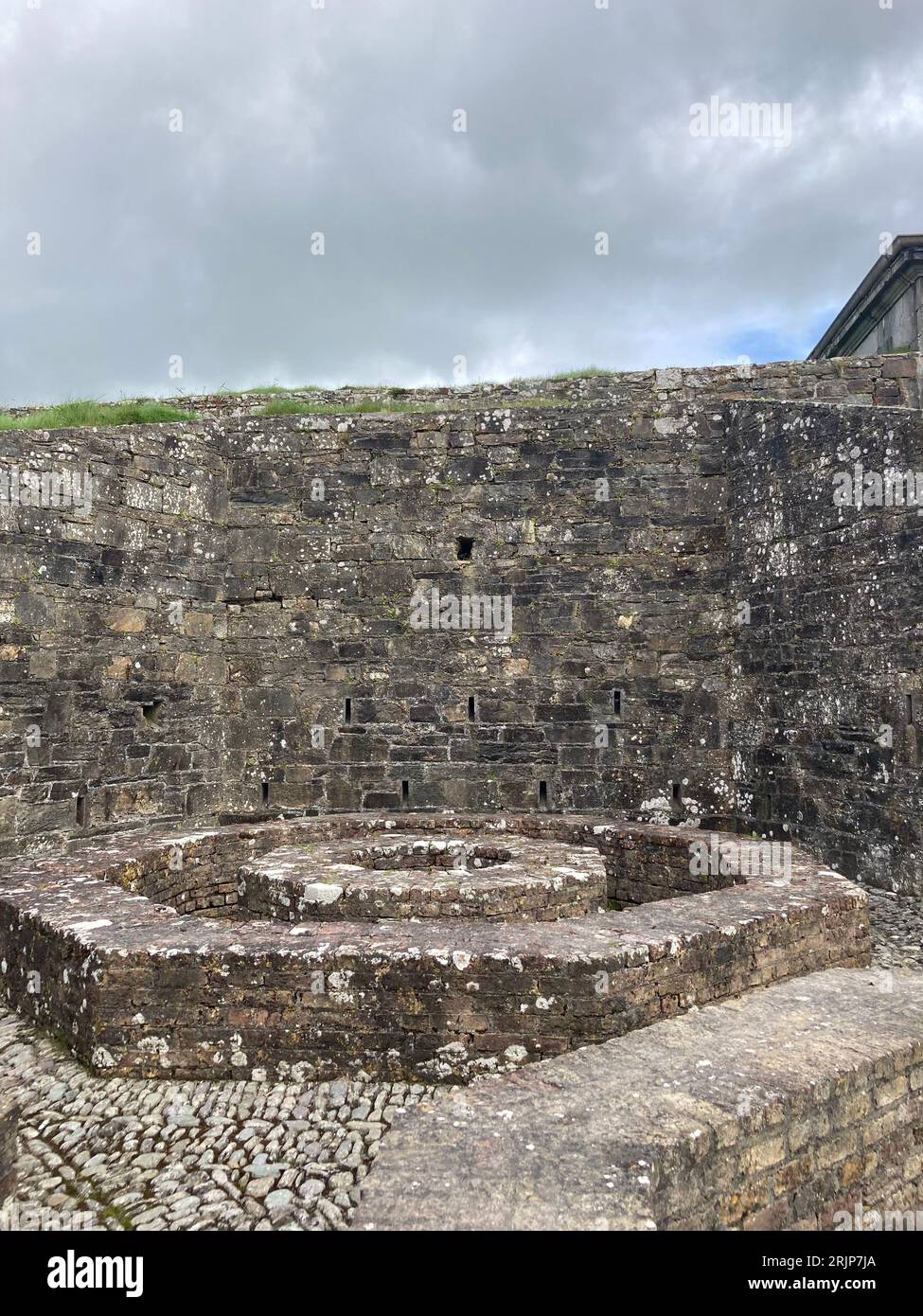 Fairy fort / earthen ringfort in Bellmount UpperFairy fort / earthen ringfort · 1.6 mi
Explorer Tom Ringfort in Bellmount Upper has a little ditch outside, like a moat for tiny dragons. It sits on a slope and looks a…
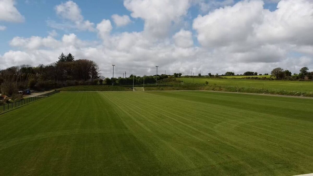 Newcestown GAA pitchGAA ground · 1.7 mi
 Fairy fort / earthen ringfort in FarranthomasFairy fort / earthen ringfort · 1.9 mi
Explorer Tom This fort in Farranthomas is just an undulation now, with a kink in the fence marking its spot. Locals call it a…
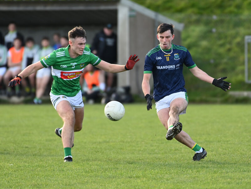 Kilmurry GAA pitchGAA ground · 3.3 mi
 Mapped cemeteryCemetery · 4.1 mi
Explorer Tom Mapped cemetery in County Cork would post a selfie saying, 'Just here chilling with my rocks, #blessed #mossy…
 CastleCastle, unclassified · 5.4 mi
Explorer Tom Castle in Castletown belonged to the McCarthys of Gleannacroim before Cromwell’s soldiers torched it all down. Now…
More archaeology and monuments in County Cork · All of County Cork

What do you know about this place?Tap to add a comment or ask a question