What is recorded here
Fairy fort in Bellmount Upper is a 32.5-metre earthen ring on a south-east slope, its low bank and shallow fosse still marking the circle beneath pasture. The interior rises on the south and east to balance the tilt, suggesting people shaped the ground rather than merely accepting it. A laneway has buried part of the western ditch, yet the ring endures, quiet and unbroken, inviting wonder about who lived there and what they valued enough to build on a hillside.
In pasture, on SE-facing slope. Circular area (32.5m N-S) enclosed by low eroded earthen bank (int. H 0.6m) SW->NE; scarp NE->SE; external fosse (D 1.1m) WSW->NE; outer earthen bank (H 0.2m; max. H 0.6m) WNW->NE. Fosse infilled to WNW where laneway skirts site. Interior raised on S and E sides to compensate for hillslope.
The above description is derived from the published 'Archaeological Inventory of County Cork. Volume 3: Mid Cork' (Dublin: Stationery Office, 1997). In certain instances the entries have been revised and updated in the light of recent research.
Date of upload/revision: 14 January 2009
The monument record does not grant public access. Check the route and ask the landowner before entering private land.
- What survives
- Recorded monument
Places near here
 Nialls GraveWedge tomb · 671 yd
 IndicatedKiln, lime · 980 yd
 Burial ground in Bellmount UpperBurial ground · 1187 yd
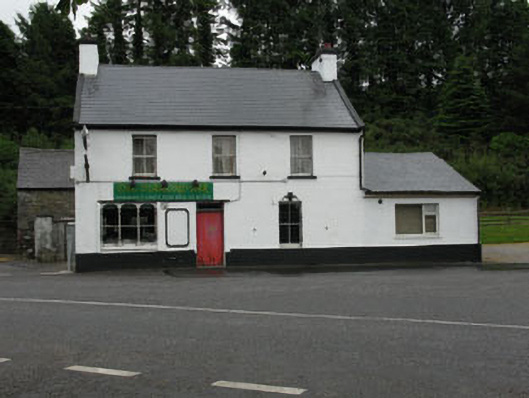 The Diamond Barhouse · 1515 yd
 Michael Collins MemorialMemorial · 1666 yd
 Clodah CastleCastle · 1.4 mi
 Towers (in Ruins)House, fortified house · 1.8 mi
 Independence MuseumMuseum · 2.5 mi
 Kilmurry WoodsPicnic place · 2.8 mi
 Priest MemorialMemorial · 3.0 mi
 Mount Pleasant WoodWood · 3.0 mi
 Pedunculate OakPedunculate Oak · 3.2 mi