
What is recorded here
In hollow beside trackway, built against natural slope. Front elevation (H c. 6m) has partially infilled arched recess (Wth 2.35m). Partially collapsed funnel (diam. c. 2m). Shown on 1842 OS 6-inch map.
The above description is derived from the published 'Archaeological Inventory of County Cork. Volume 3: Mid Cork' (Dublin: Stationery Office, 1997). In certain instances the entries have been revised and updated in the light of recent research.
Date of upload/revision: 14 January 2009
The monument record does not grant public access. Check the route and ask the landowner before entering private land.
- What survives
- Recorded monument
Places near here
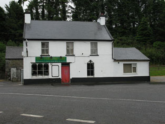 The Diamond Barhouse · 740 yd
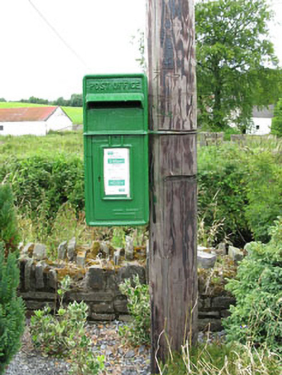 post boxpost box · 762 yd
 Nialls GraveWedge tomb · 1287 yd
 Michael Collins MemorialMemorial · 1453 yd
 Enclosure in ClodahEnclosure · 1.1 mi
 Clodah CastleCastle · 1.1 mi
 Independence MuseumMuseum · 2.0 mi
 Towers (in Ruins)House, fortified house · 2.2 mi
 Kilmurry WoodsPicnic place · 2.3 mi
 Priest MemorialMemorial · 2.4 mi
 Andrew's WoodWood · 2.8 mi
 Green HillMountain / peak · 3.1 mi
Other information
Photo: Credit not shown in the picture search · Rights wording not checked; contact us if this picture should be removed