
What is recorded here
In low-lying wet pasture, on the NW side of a stream. According to local information, this is the site of a burial ground. A heap of earth, stones and scrub covers the area and there are no visible remains of this possible burial ground.
The above description is derived from 'The Archaeological Inventory of County Cork. Volume 5' (Dublin: Stationery Office, 2009).
Date of upload: 22 December 2009
A local ancient tomb; wider significance not recorded.
This remains an important historical record, but the official description says the monument is no longer visible or has been destroyed. The monument record does not grant public access. Check the route and ask the landowner before entering private land.
- What survives
- No visible remains or recorded as destroyed
Places near here
 Fulacht FianFulacht fia · 933 yd
 Nialls GraveWedge tomb · 1643 yd
 IndicatedKiln, lime · 1.1 mi
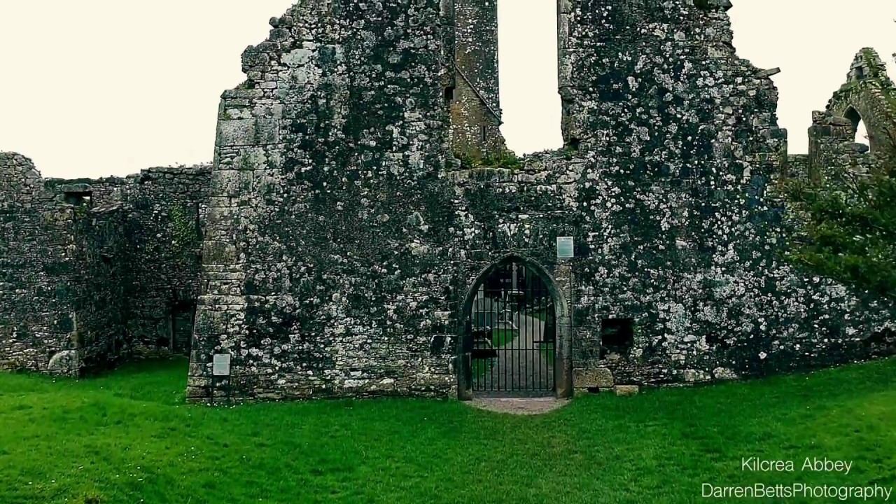 Kilbrenan Abbey (in Ruins)Religious house, unclassified · 1.2 mi
 Clodah CastleCastle · 1.6 mi
 Michael Collins MemorialMemorial · 1.6 mi
 Towers (in Ruins)House, fortified house · 1.8 mi
 Mount Pleasant WoodWood · 2.6 mi
 Pedunculate OakPedunculate Oak · 2.8 mi
 Independence MuseumMuseum · 3.1 mi
 Kilmurry WoodsPicnic place · 3.4 mi
 Priest MemorialMemorial · 3.5 mi
Other information
Photo: Credit not shown in the picture search · Rights wording not checked; contact us if this picture should be removed