What is recorded here
In upland terrain, on a terrace of a gentle NE-facing slope along the S side of the Nuenna river valley. In pasture with forestry immediately to the W. Identified on GSI aerial photograph (S 453, 1:30,000) as a roughly circular enclosure (diam. c. 25m) and visible on satellite imagery (Digitalglobe, viewed 18 March 2020).
Compiled by: Jean Farrelly
Date of upload: 18 March 2020
The monument record does not grant public access. Check the route and ask the landowner before entering private land.
- What survives
- Recorded monument
Places near here
 Monabrogue RingfortArchaeological place · 288 yd
 IndicatedEnclosure · 803 yd
 Church in KyleballynamoeChurch · 1279 yd
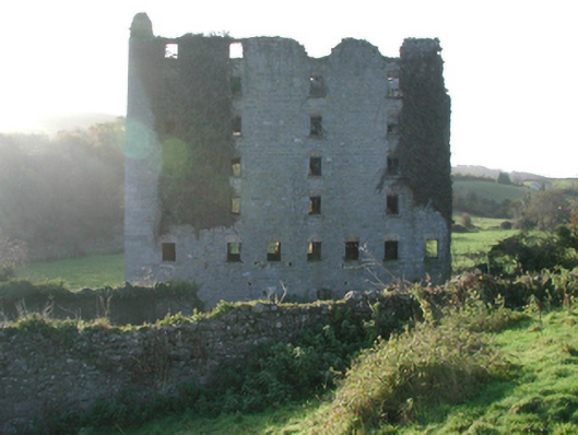 Clomantagh Millsmill (water) · 1680 yd
 Tubbrid Castle (in ruins)Castle, tower house · 1.0 mi
 The CopseWood · 1.6 mi
 CastleCastle, tower house · 1.6 mi
 Brown's WoodWood · 1.8 mi
 Freshford LoopWalking route · 2.1 mi
 Clomantagh HillMountain / peak · 2.9 mi
 John HelyMemorial · 4.8 mi
 DelaneyMemorial · 4.9 mi
Other information
Photo: Credit not shown in the picture search · Rights wording not checked; contact us if this picture should be removed