What is recorded here
Monabrogue holds a thirty-eight-metre earthen ring on a rocky terrace above the Nuenna valley, where a dome-shaped stone rise still marks the centre. People called it a fairy fort, yet the solid bank and possible cut passage suggest human hands shaped the land before folklore arrived. The wide view and exposed rock would have made the place visible, defensible and alive to imagination.
In upland, on a rocky terrace of the S slopes overlooking the Nuenna river valley, on the S side, in pasture. There are very fine views in all directions. A roughly circular area (diam. 38m N-S; 35m E-W) enclosed by an earthen bank (int. H c. 0.8m; ext. H c. 1m; Wth at top 0.75m; overall Wth 3.5m). There is rock outcrop in the interior which is dome-shaped, rising gradually towards the centre by c. 0.4m. There is a possible rock-cut Man-made underground passage (KK013-041002-) slightly E of centre of the interior, though this may also be the result of quarrying.
Compiled by: Jean Farrelly
Date of upload: 18 March 2020
The monument record does not grant public access. Check the route and ask the landowner before entering private land.
- What survives
- Recorded monument
Places near here
 Monabrogue RingfortArchaeological place · 2 yd
 Enclosure in MonabrogueEnclosure · 286 yd
 Church in KyleballynamoeChurch · 1557 yd
 Tubbrid Castle (in ruins)Castle, tower house · 1.1 mi
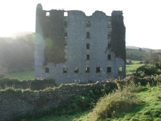 Clomantagh Millsmill (water) · 1.1 mi
 CastleCastle, motte · 1.3 mi
 The CopseWood · 1.6 mi
 Brown's WoodWood · 1.8 mi
 Freshford LoopWalking route · 2.2 mi
 Clomantagh HillMountain / peak · 3.1 mi
 John HelyMemorial · 5.0 mi
 DelaneyMemorial · 5.1 mi