What is recorded here
Tubbrid Upper holds a twenty-metre stone ring on the upper terrace above the Nuenna river, where a collapsed boulder still marks the south edge of its entrance. The fort slopes gently toward the stream gully, giving wide views across the valley while rising land hides the eastern horizon. It is the kind of place where people may have stood at dawn, reading the shape of the sky before the river fog lifted.
On the upper of two terraces along the SW side of the Nuenna river valley, in pasture. To the N there is the gully of a small stream running down into the Nuenna river. There are very good views in all directions, except to the E where the land rises and to the NE where the other side of the gully rises up to higher land. The ringfort slopes gently to the N.
A roughly circular area (diam. 20m N-S; 22m E-W) enclosed by earth and stone bank (overall Wth 2m; Wth at crest 0.75m; int. H 1m; ext. H 1.5m) with wide external fosse (Wth 1m; D 1m). The outer face of the bank and inner side of fosse appear to have been originally stone-revetted, though this has largely collapsed into the fosse. There is an entrance (Wth 1.5m) in the SE quadrant with a large boulder defining the S side.
Compiled by: Jean Farrelly
Date of upload: 21 January 2020
The monument record does not grant public access. Check the route and ask the landowner before entering private land.
- What survives
- Recorded monument
Places near here
 Tubbrid Upper RingfortArchaeological place · 314 yd
 Church (in Ruins)Church · 666 yd
 Tubbrid Castle (in ruins)Castle, tower house · 708 yd
 ToberpatrickHoly well · 846 yd
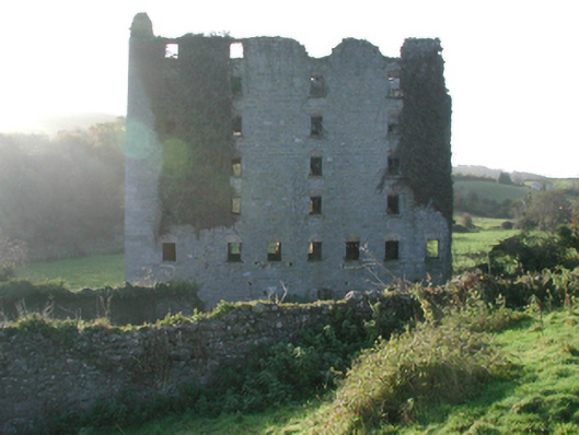 Clomantagh Millsmill (water) · 1013 yd
 CastleCastle, tower house · 1.0 mi
 Kildrinagh WoodForest · 1.7 mi
 Clomantagh HillMountain / peak · 2.4 mi
 John HelyMemorial · 4.2 mi
 DelaneyMemorial · 4.3 mi
 Deerpark WoodWood · 4.6 mi
 Anker's IslandIsland · 8.3 mi