
What is recorded here
According to Carrigan (1905, vol. 2, 257-8), the church or 'cill' (kyle) referred to in the townland name of Kyleballynamoe, 'was situated in Mr. John Julian's land, on a hillock some 20yds. west of the Nuenna river. About 1830, all that remained of it, a single gable, was taken down, and the materials were used to…
Read the whole record
From the National Monuments Service (Archaeological Survey of Ireland) record KK013-008002
Places near here
Photo credits
- Maker not stated on source page, www.dreamstime.com
- Maker not stated on source page, tr.pinterest.com
- Maker not stated on source page, www.istockphoto.com
- Maker not stated on source page, global-geography.org
- National Inventory of Architectural Heritage
- Maker not stated on source page, www.ancient-origins.net
- A.-K. D., Wikimedia Commons · CC BY-SA 4.0
- Maker not stated on source page, evoke.ie
- Maker not stated on source page, www.pinterest.com
- Maker not stated on source page, www.alamy.com
 Kyleballynamoe GraveyardCemetery · 9 yd
Explorer Tom Kyleballynamoe Graveyard in County Kilkenny has a long-standing grudge with the weather, mainly because it keeps…
 Fairy fort / earthen ringfort in KyleballynamoeFairy fort / earthen ringfort · 452 yd
Explorer Tom Fairy fort in Kyleballynamoe is a massive earthen bank that definitely contains a biscuit tin of gold, or at least a…
 CastleCastle, unclassified · 729 yd
Explorer Tom Castle in Kyleballynamoe is hiding a treasure that is definitely just an empty biscuit tin from 1974, but the locals…
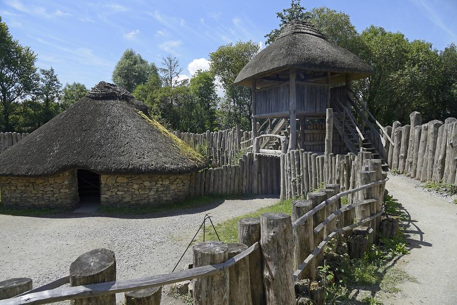 Kyleballynamoe Ringfort (rath)Archaeological place · 853 yd
Explorer Tom Kyleballynamoe Ringfort is planning to retire to Florida but can't afford the flights because it’s just a mound of…
 Clomantagh MillsMill (water) · 1088 yd
Explorer Tom Clomantagh Mills was started after two lads bet they could grind flour with a water wheel. One lost his shirt, and now…
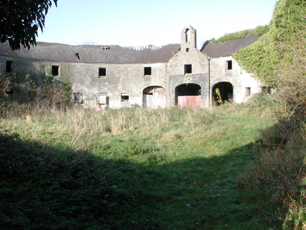 outbuilding1145 yd
Explorer Tom Outbuilding in Clomantagh Lower, County Kilkenny has an imaginary fan club of mice who think its bellcote is a concert…
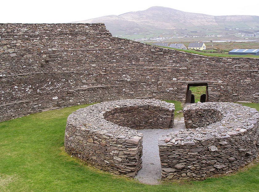 Fairy fort / ringfort in Ballylarkin LowerFairy fort / ringfort · 1210 yd
Explorer Tom Fairy fort / ringfort in Ballylarkin Lower feuded with the next village over parking. A road cut it in half, which is…
 TobermurryHoly well · 1328 yd
Explorer Tom Tobermurry is Lady’s Well, but nobody visits anymore because they forgot how to say please when asking for a sip. It…
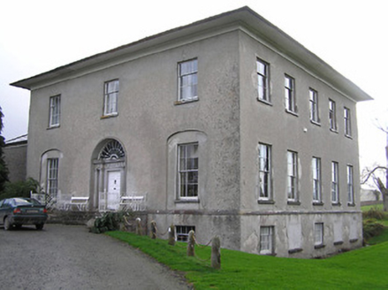 Kilrush HouseCountry house · 1415 yd
Explorer Tom Kilrush House is secretly proud of one specific potato it grew in the back garden centuries ago. That spud gave it all…
 Fairy fort / earthen ringfort in Tubbrid UpperFairy fort / earthen ringfort · 1530 yd
Explorer Tom Fairy fort / earthen ringfort in Tubbrid Upper has a ghost who’s too lazy to haunt it, so he just naps. The bank is…
 Killoshulan CastleCastle, tower house · 1737 yd
Explorer Tom Killoshulan Castle sits on a slope with the best views in town, yet it seems to be hiding behind the trees. If it could…
 Mapped cemeteryCemetery · 1.1 mi
Explorer Tom Another Mapped cemetery in County Kilkenny would win the lotto and immediately buy a very fancy hat for every single…
More memorials and graveyards in County Kilkenny · All of County Kilkenny

What do you know about this place?Tap to add a comment or ask a question